
1904 Map of Hobart
USGS Topo · Published 1904About this map
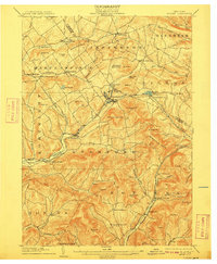
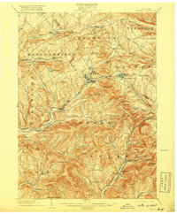
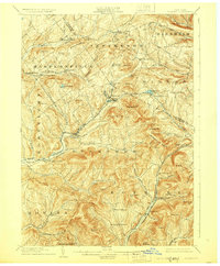
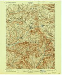
The West Branch Delaware River carves through this early twentieth-century landscape, serving as a primary corridor for both the Ulster and Delaware railroad and a string of mountain valley settlements. The terrain is defined by significant elevations like Utsayantha Mt. and the Moresville Range, which dictate the placement of local infrastructure and agriculture. At the center of the sheet, Stamford and Hobart emerge as key hubs, while smaller rural junctions like Hubbell Corners and Meeker Hollow Center reflect the era's dispersed upland communities.
Find a feature on this map
69 named features on this map. Tap any name to fly to it.
Don’t see what you’re looking for? This feature index may not catch every label — zoom into the map to look around manually.
Map Details
Editions of this 1904 Hobart Map
5 editions found
Other maps of this area

1898 · Schoharie
USGS Topo · 1:62,500

1900 · Schoharie
USGS Topo · 1:62,500

1900 · Phoenicia
USGS Topo · 1:62,500

1901 · Margaretville
USGS Topo · 1:62,500

1901 · Gilboa
USGS Topo · 1:62,500

1903 · Gilboa
USGS Topo · 1:62,500

1903 · Phoenicia
USGS Topo · 1:62,500

1904 · Richmondville
USGS Topo · 1:62,500

1904 · Margaretville
USGS Topo · 1:62,500

1907 · Cooperstown
USGS Topo · 1:62,500