
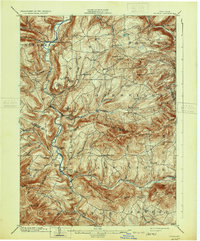
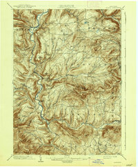
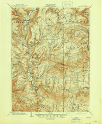
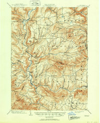
1903 Map of Gilboa
USGS Topo · Published 1903About this map
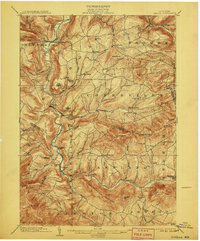
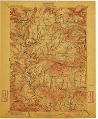
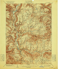
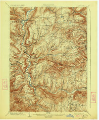
Schoharie Creek carves a deep path through these northern Catskill foothills, anchoring a landscape of tight-knit farming hamlets and prominent peaks. The map reveals the early 20th-century character of Prattsville, situated at the confluence of the creek and Batavia Kill, and the village of Gilboa before its later transformation. Notable landmarks like Pratt Rocks and Devasego Falls highlight the geological features that defined the region's local identity and early tourism.
Find a feature on this map
80 named features on this map. Tap any name to fly to it.
Don’t see what you’re looking for? This feature index may not catch every label — zoom into the map to look around manually.
Map Details
Editions of this 1903 Gilboa Map
9 editions found
Other maps of this area

1892 · Kaaterskill
USGS Topo · 1:62,500

1893 · Kaaterskill
USGS Topo · 1:62,500

1893 · Durham
USGS Topo · 1:62,500

1894 · Kaaterskill
USGS Topo · 1:62,500

1894 · Durham
USGS Topo · 1:62,500

1898 · Schoharie
USGS Topo · 1:62,500

1899 · Kaaterskill
USGS Topo · 1:62,500

1900 · Schoharie
USGS Topo · 1:62,500

1900 · Berne
USGS Topo · 1:62,500

1900 · Phoenicia
USGS Topo · 1:62,500