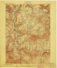
1903 Map of Gilboa
USGS Topo · Published 1906About this map
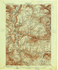
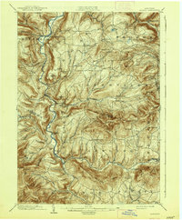
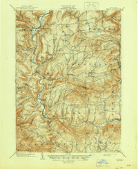
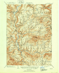
Schoharie Creek carves a deep path through this corner of the Catskills, serving as the central artery for a network of settlements including North Blenheim, Gilboa, and Prattsville. The landscape is defined by its dramatic relief, with prominent peaks like Huntersfield Mt. and Richtmyer Peak towering over the narrow valleys. This early 20th-century survey illustrates the era before the Schoharie Reservoir altered the local geography, showing the original course of the river and the placement of communities along its banks. Significant natural landmarks such as Manorkill Falls and Devasego Falls are documented, alongside human-named features like Pratt Rocks and Mackey Rocks. The map reveals a high-elevation agricultural and rural economy, where roads follow the winding paths of the Batavia Kill and Platter Kill, connecting smaller hamlets like Livingstonville, Mackey, and Bates to the larger river towns.
Find a feature on this map
79 named features on this map. Tap any name to fly to it.
Don’t see what you’re looking for? This feature index may not catch every label — zoom into the map to look around manually.
Map Details
Editions of this 1903 Gilboa Map
9 editions found

Other maps of this area

1892 · Kaaterskill
USGS Topo · 1:62,500

1893 · Kaaterskill
USGS Topo · 1:62,500

1893 · Durham
USGS Topo · 1:62,500

1894 · Kaaterskill
USGS Topo · 1:62,500

1894 · Durham
USGS Topo · 1:62,500

1898 · Schoharie
USGS Topo · 1:62,500

1899 · Kaaterskill
USGS Topo · 1:62,500

1900 · Schoharie
USGS Topo · 1:62,500

1900 · Berne
USGS Topo · 1:62,500

1900 · Phoenicia
USGS Topo · 1:62,500