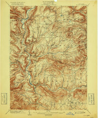
1903 Map of Gilboa
USGS Topo · Published 1918About this map
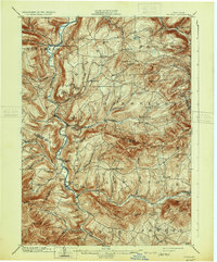
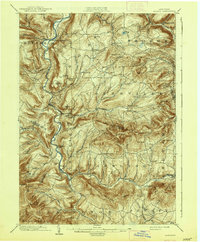
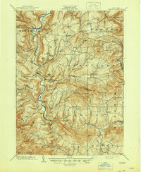
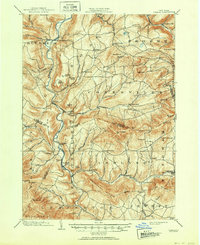
Schoharie Creek carves a deep valley through this Catskill mountain landscape, serving as the primary corridor for settlements like North Blenheim, Gilboa, and Prattsville at the start of the twentieth century. The map captures a mountain economy defined by its water power and high-altitude hamlets, featuring notable landmarks such as Manorkill Falls and Devasego Falls. In the southern reaches, Batavia Kill flows through Ashland and Red Falls, framed by the significant elevations of Windham High Peak and Bearpen Mt.
Find a feature on this map
76 named features on this map. Tap any name to fly to it.
Don’t see what you’re looking for? This feature index may not catch every label — zoom into the map to look around manually.
Map Details
Editions of this 1903 Gilboa Map
9 editions found

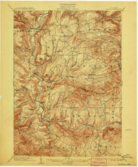
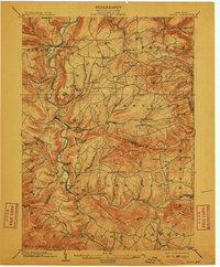
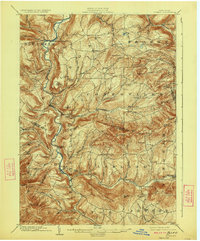
Other maps of this area

1892 · Kaaterskill
USGS Topo · 1:62,500

1893 · Kaaterskill
USGS Topo · 1:62,500

1893 · Durham
USGS Topo · 1:62,500

1894 · Kaaterskill
USGS Topo · 1:62,500

1894 · Durham
USGS Topo · 1:62,500

1898 · Schoharie
USGS Topo · 1:62,500

1899 · Kaaterskill
USGS Topo · 1:62,500

1900 · Schoharie
USGS Topo · 1:62,500

1900 · Berne
USGS Topo · 1:62,500

1900 · Phoenicia
USGS Topo · 1:62,500