
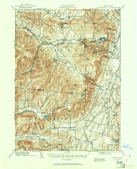
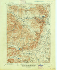
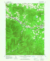
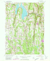
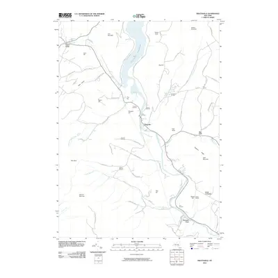
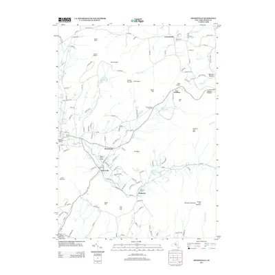
1892 Map of Kaaterskill
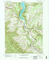
USGS Topo · Published 1957About this map
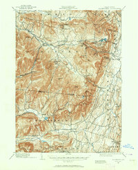
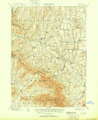
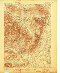
The northern Catskills landscape in the late nineteenth century is defined here by its rapid transition from wilderness to a refined mountain retreat. The famous Mountain House stands near North Lake and South Lake, overlooking the steep cloves and the dramatic Kaaterskill Falls. This era saw the establishment of exclusive residential enclaves like Onteora Park, Twilight Park, and Elka Park, which were served by a specialized rail network including the Elevating R. R. and the U. & D. R. R. through Kaaterskill Junction.
Find a feature on this map
84 named features on this map. Tap any name to fly to it.
Don’t see what you’re looking for? This feature index may not catch every label — zoom into the map to look around manually.
Map Details
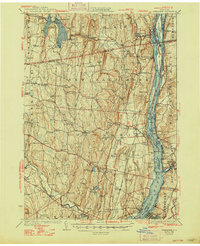
Editions of this 1892 Kaaterskill Map
3 editions found
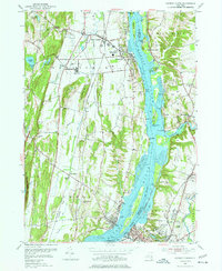
Historical Maps of Saugerties Through Time
76 maps found
1892 Kaaterskill
Greene County, NY

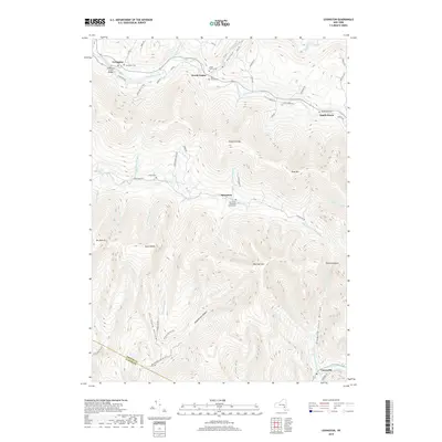
1893 Coxsackie
Greene County, NY

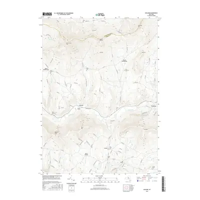
1893 Durham
Greene County, NY

1893 Kaaterskill
Greene County, NY

1894 Coxsackie
Greene County, NY
1894 Durham
Greene County, NY

1894 Kaaterskill
Greene County, NY
1899 Kaaterskill
Greene County, NY
1903 Kaaterskill
Greene County, NY
1929 Coxsackie
Greene County, NY
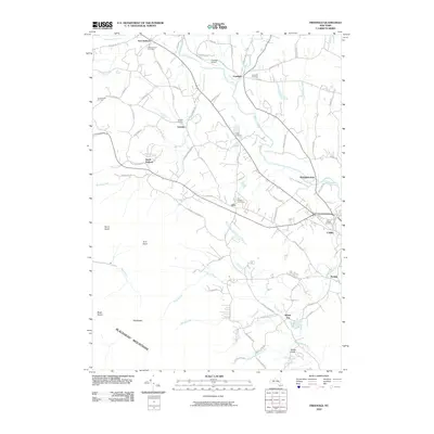
1943 Freehold
Greene County, NY
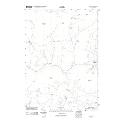
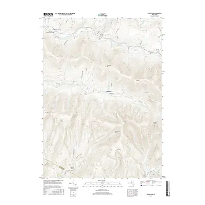
1945 Ashland
Greene County, NY

1945 Freehold
Greene County, NY

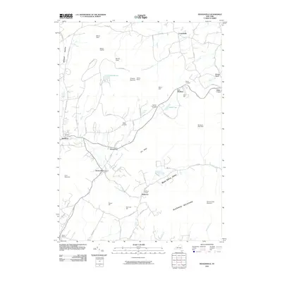
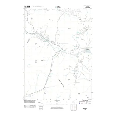
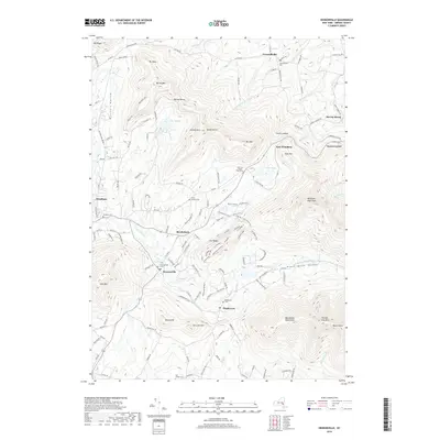
1945 Hensonville
Greene County, NY
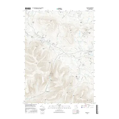
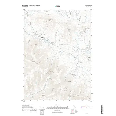
1945 Hunter
Greene County, NY
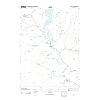
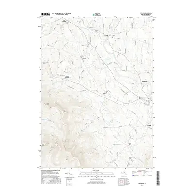
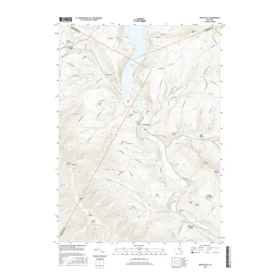
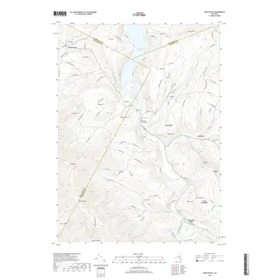
1945 Prattsville
Greene County, NY

1946 Ashland
Greene County, NY
1946 Hensonville
Greene County, NY

1946 Hunter
Greene County, NY
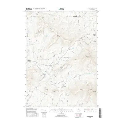
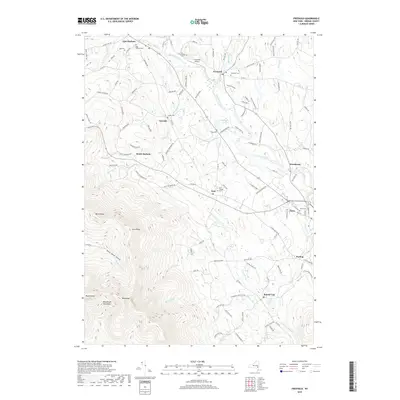
1946 Kaaterskill
Greene County, NY

1946 Lexington
Greene County, NY

1946 Prattsville
Greene County, NY
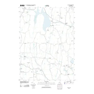
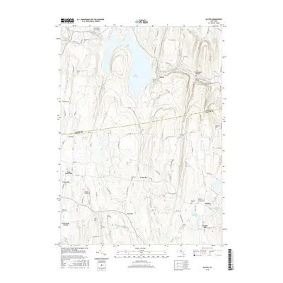
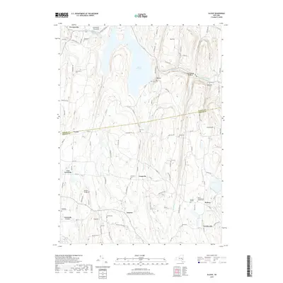
1953 Alcove
Greene County, NY
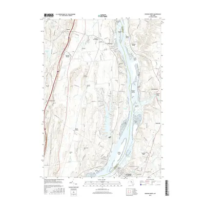
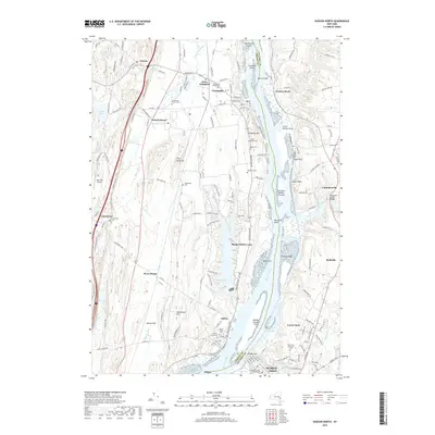
1953 Hudson North
Greene County, NY
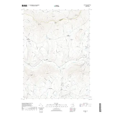
1960 Lexington
Greene County, NY

1978 Wilmington
Greene County, NY
1980 Hensonville
Greene County, NY

1980 Hudson North
Greene County, NY

1980 Hunter
Greene County, NY

1997 Hunter
Greene County, NY

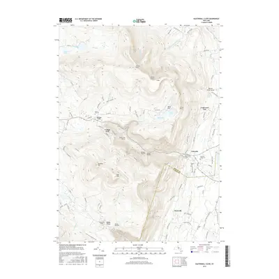
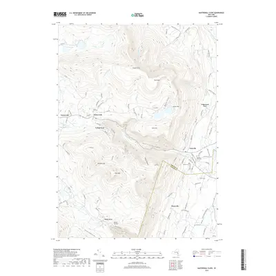
1997 Kaaterskill Clove
Greene County, NY
2010 Alcove
Greene County, NY
2010 Ashland
Greene County, NY
2010 Freehold
Greene County, NY
2010 Hensonville
Greene County, NY
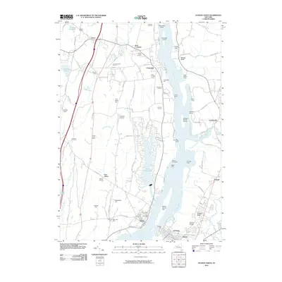
2010 Hudson North
Greene County, NY
2010 Hunter
Greene County, NY
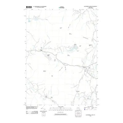
2010 Kaaterskill Clove
Greene County, NY
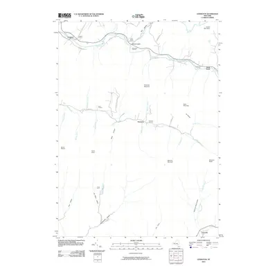
2010 Lexington
Greene County, NY
2010 Prattsville
Greene County, NY
2013 Alcove
Greene County, NY
2013 Ashland
Greene County, NY
2013 Freehold
Greene County, NY
2013 Hensonville
Greene County, NY
2013 Hudson North
Greene County, NY

2013 Hunter
Greene County, NY
2013 Kaaterskill Clove
Greene County, NY
2013 Lexington
Greene County, NY
2013 Prattsville
Greene County, NY
2016 Alcove
Greene County, NY
2016 Ashland
Greene County, NY
2016 Freehold
Greene County, NY
2016 Hensonville
Greene County, NY
2016 Hudson North
Greene County, NY
2016 Hunter
Greene County, NY
2016 Kaaterskill Clove
Greene County, NY
2016 Lexington
Greene County, NY
2016 Prattsville
Greene County, NY
2019 Alcove
Greene County, NY
2019 Ashland
Greene County, NY
2019 Freehold
Greene County, NY
2019 Hensonville
Greene County, NY
2019 Hudson North
Greene County, NY
2019 Hunter
Greene County, NY
2019 Kaaterskill Clove
Greene County, NY
2019 Lexington
Greene County, NY
2019 Prattsville
Greene County, NY

2023 Alcove
Greene County, NY

2023 Ashland
Greene County, NY

2023 Freehold
Greene County, NY

2023 Hensonville
Greene County, NY

2023 Hudson North
Greene County, NY

2023 Hunter
Greene County, NY

2023 Kaaterskill Clove
Greene County, NY

2023 Lexington
Greene County, NY

2023 Prattsville
Greene County, NY