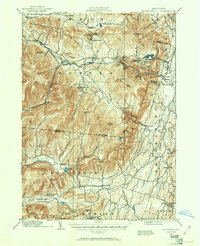
1892 Map of Kaaterskill
USGS Topo · Published 1961About this map
The Catskill Mountains define the character of this late 19th-century landscape, where a sophisticated network of early mountain railways and resort parks met the farming valleys of Greene and Ulster Counties. The engineering of the day is prominently featured, including the Otis Elevating R.R. and the Stony Clove and Catskill Mountain R.R., which provided access to the region's famed retreats.
Find a feature on this map
78 named features on this map. Tap any name to fly to it.
Don’t see what you’re looking for? This feature index may not catch every label — zoom into the map to look around manually.
Map Details
Editions of this 1892 Kaaterskill Map
3 editions found
Other maps of this area

1892 · Kaaterskill
USGS Topo · 1:62,500

1893 · Kaaterskill
USGS Topo · 1:62,500

1893 · Coxsackie
USGS Topo · 1:62,500

1893 · Durham
USGS Topo · 1:62,500

1894 · Coxsackie
USGS Topo · 1:62,500

1894 · Kaaterskill
USGS Topo · 1:62,500

1894 · Durham
USGS Topo · 1:62,500

1895 · Catskill
USGS Topo · 1:62,500

1898 · Rhinebeck
USGS Topo · 1:62,500

1899 · Kaaterskill
USGS Topo · 1:62,500