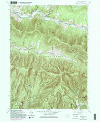
1960 Map of Lexington
USGS Topo · Published 1981About this map
Schoharie Creek carves a narrow valley through the northern reaches of Catskill Park on this 1960 revision of Greene County terrain. The settlement pattern follows the water, with Lexington and Jewett Center situated along the northern corridor, while Spruceton and Lanesville occupy the deep valleys to the south. These mountain communities are defined by their steep surroundings, with peaks like Evergreen Mountain, Rusk Mountain, and West Kill Mountain creating significant natural barriers between hamlets.
Find a feature on this map
38 named features on this map. Tap any name to fly to it.
Don’t see what you’re looking for? This feature index may not catch every label — zoom into the map to look around manually.
Map Details
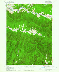
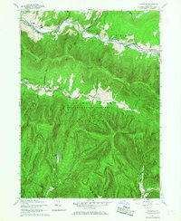
Editions of this 1960 Lexington Map
3 editions found
Other maps of this area

1892 · Kaaterskill
USGS Topo · 1:62,500

1893 · Kaaterskill
USGS Topo · 1:62,500

1893 · Durham
USGS Topo · 1:62,500

1894 · Kaaterskill
USGS Topo · 1:62,500

1894 · Durham
USGS Topo · 1:62,500

1899 · Kaaterskill
USGS Topo · 1:62,500

1900 · Phoenicia
USGS Topo · 1:62,500

1901 · Gilboa
USGS Topo · 1:62,500

1903 · Gilboa
USGS Topo · 1:62,500

1903 · Phoenicia
USGS Topo · 1:62,500