
1903 Map of Phoenicia
USGS Topo · Published 1903About this map
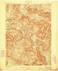
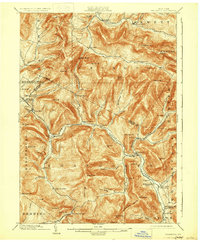
Esopus Creek flows through the center of this Catskill mountain region, where the Ulster and Delaware railroad follows the valley floor to connect high-altitude resorts and timber towns. At the start of the 20th century, this area served as a premier destination for summer tourism, anchored by the landmark Highmount Grand Hotel near Pine Hill and the Winnisook Lodge at the foot of Slide Mountain. The topography reflects a landscape of deep valleys like Big Indian Hollow and Peck Hollow, which isolated small settlements such as Bushnellsville and Oliverea. Industry is evidenced by the proximity of the railroad to manufacturing sites like Chichester, while the northern reaches of the map show the transition into the Schoharie Creek watershed near Lexington.
Find a feature on this map
90 named features on this map. Tap any name to fly to it.
Don’t see what you’re looking for? This feature index may not catch every label — zoom into the map to look around manually.
Map Details
Editions of this 1903 Phoenicia Map
9 editions found
Other maps of this area

1892 · Kaaterskill
USGS Topo · 1:62,500

1893 · Kaaterskill
USGS Topo · 1:62,500

1893 · Durham
USGS Topo · 1:62,500

1894 · Kaaterskill
USGS Topo · 1:62,500

1894 · Durham
USGS Topo · 1:62,500

1899 · Kaaterskill
USGS Topo · 1:62,500

1900 · Phoenicia
USGS Topo · 1:62,500

1901 · Rosendale
USGS Topo · 1:62,500

1901 · Margaretville
USGS Topo · 1:62,500

1901 · Gilboa
USGS Topo · 1:62,500