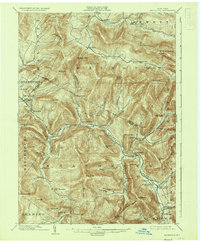
1903 Map of Phoenicia
USGS Topo · Published 1936About this map
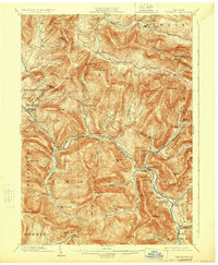
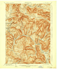
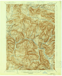
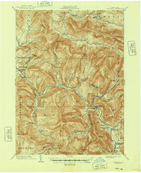
The Ulster and Delaware R. R. carves through the steep mountain passes of the Catskills, providing a vital rail link for the remote valley settlements at the turn of the century. This landscape is defined by the high peaks of Slide Mountain and Panther Mt., where narrow hollows like Lost Clove and Traver Hollow channel drainage toward the Esopus Creek and Schoharie Creek. The arrival of the railroad transformed the regional economy, visible in the concentration of development at Pine Hill and the presence of the Highmount Grand Hotel, which served travelers seeking the cooler mountain air. Smaller hamlets such as Chichester, Lanesville, and Oliverea remain tucked into the lower elevations, connected by local roads that follow the winding course of the Stony Clove Creek and Beaver Kill. Farther south, the secluded Winnisook Lodge and Mt Pleasant Station highlight the era's focus on wilderness retreats and transit-oriented mountain commerce.
Find a feature on this map
83 named features on this map. Tap any name to fly to it.
Don’t see what you’re looking for? This feature index may not catch every label — zoom into the map to look around manually.
Map Details
Editions of this 1903 Phoenicia Map
9 editions found

Other maps of this area

1892 · Kaaterskill
USGS Topo · 1:62,500

1893 · Kaaterskill
USGS Topo · 1:62,500

1893 · Durham
USGS Topo · 1:62,500

1894 · Kaaterskill
USGS Topo · 1:62,500

1894 · Durham
USGS Topo · 1:62,500

1899 · Kaaterskill
USGS Topo · 1:62,500

1900 · Phoenicia
USGS Topo · 1:62,500

1901 · Rosendale
USGS Topo · 1:62,500

1901 · Margaretville
USGS Topo · 1:62,500

1901 · Gilboa
USGS Topo · 1:62,500