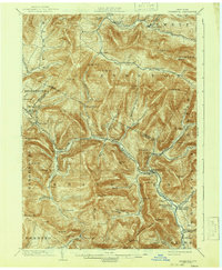
1903 Map of Phoenicia
USGS Topo · Published 1942About this map
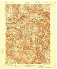
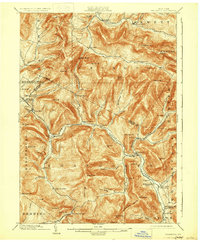
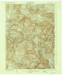
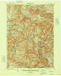
Phoenicia sits at the junction of Esopus Creek and Stony Clove Creek, serving as a central hub for the mountain rail economy of the early twentieth century. This survey, conducted at the turn of the century and reprinted in 1942, captures the intricate topography of the Catskills, dominated by the massive Slide Mountain and Panther Mt.. The landscape is defined by its narrow hollows and high-elevation landmarks, such as the Grand Hotel near Highmount and the remote Winnisook Lodge to the south. The mountain valleys are threaded with important transportation corridors, including the Ulster & Delaware R.R. and the Stony Clove and Kaaterskill Branch, which connected remote timber and resort settlements like Lanesville, Chichester, and Lexington. Researchers will find a network of established villages and mountain hamlets, from Pine Hill to Jewett Center, often located at the mouths of deep drainage basins like Peck Hollow and Broadstreet Hollow.
Find a feature on this map
92 named features on this map. Tap any name to fly to it.
Don’t see what you’re looking for? This feature index may not catch every label — zoom into the map to look around manually.
Map Details
Editions of this 1903 Phoenicia Map
9 editions found

Other maps of this area

1892 · Kaaterskill
USGS Topo · 1:62,500

1893 · Kaaterskill
USGS Topo · 1:62,500

1893 · Durham
USGS Topo · 1:62,500

1894 · Kaaterskill
USGS Topo · 1:62,500

1894 · Durham
USGS Topo · 1:62,500

1899 · Kaaterskill
USGS Topo · 1:62,500

1900 · Phoenicia
USGS Topo · 1:62,500

1901 · Rosendale
USGS Topo · 1:62,500

1901 · Margaretville
USGS Topo · 1:62,500

1901 · Gilboa
USGS Topo · 1:62,500