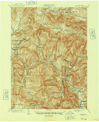
1903 Map of Phoenicia
USGS Topo · Published 1948About this map
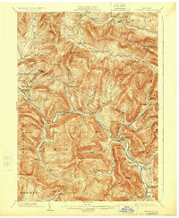
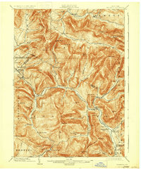
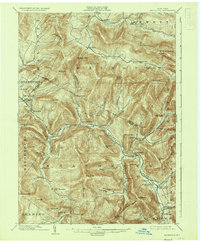
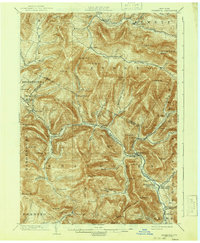
Phoenicia sits at the junction of Esopus Creek and Stony Clove, serving as a central hub for the mountain settlements of the central Catskills at the turn of the century. The rail-dependent economy of the era is evidenced by the Ulster and Delaware railroad, which threads through the steep valleys to reach remote stops like Mt. Pleasant Station and the Highmount Grand Hotel. These mountain corridors were shared between industry and recreation, with logging and small-scale agriculture occurring alongside retreats like Winnisook Lodge near the base of Slide Mountain. The topography dictates a fragmented settlement pattern, where hamlets such as Bushnellsville, Oliverea, and Lanesville are isolated by massive peaks like Panther Mountain and Wittenberg Mt.. This 1900 survey captures the region just before the expansion of the New York City watershed began to significantly alter the valley landscapes.
Find a feature on this map
89 named features on this map. Tap any name to fly to it.
Don’t see what you’re looking for? This feature index may not catch every label — zoom into the map to look around manually.
Map Details
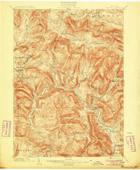
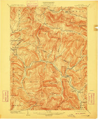
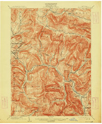
Editions of this 1903 Phoenicia Map
9 editions found

Other maps of this area

1892 · Kaaterskill
USGS Topo · 1:62,500

1893 · Kaaterskill
USGS Topo · 1:62,500

1893 · Durham
USGS Topo · 1:62,500

1894 · Kaaterskill
USGS Topo · 1:62,500

1894 · Durham
USGS Topo · 1:62,500

1899 · Kaaterskill
USGS Topo · 1:62,500

1900 · Phoenicia
USGS Topo · 1:62,500

1901 · Rosendale
USGS Topo · 1:62,500

1901 · Margaretville
USGS Topo · 1:62,500

1901 · Gilboa
USGS Topo · 1:62,500