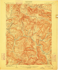
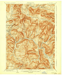
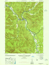
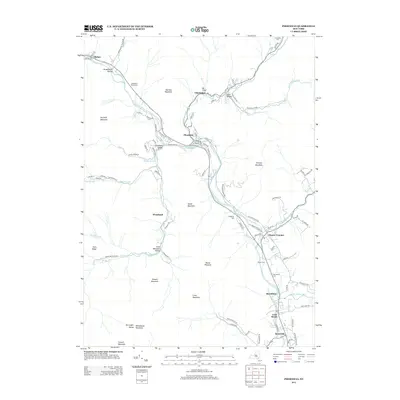
1903 Map of Phoenicia
USGS Topo · Published 1910About this map
Esopus Creek and its many tributaries carve through the Catskills in this turn-of-the-century survey, revealing a landscape defined by its deep hollows and high peaks. The settlement of Phoenicia serves as a central hub where the creek meets Stony Clove Creek, while higher elevations host early tourism landmarks like the Highmount Grand Hotel near Pine Hill and the secluded Winnisook Lodge at the foot of Slide Mountain.
Find a feature on this map
88 named features on this map. Tap any name to fly to it.
Don’t see what you’re looking for? This feature index may not catch every label — zoom into the map to look around manually.
Map Details
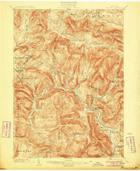
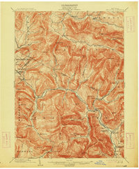
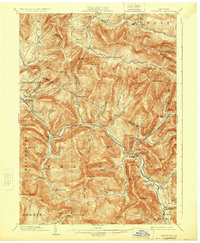
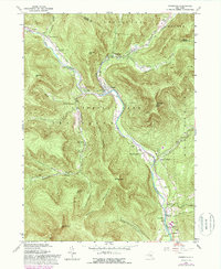
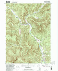
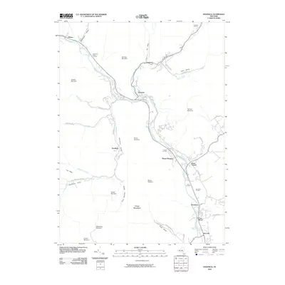
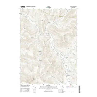
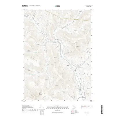
Editions of this 1903 Phoenicia Map
9 editions found

Historical Maps of Woodstock Through Time
10 maps found

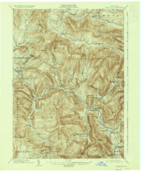
1900 Phoenicia
Ulster County, NY
1903 Phoenicia
Ulster County, NY
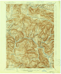
1946 Phoenicia
Ulster County, NY
1960 Phoenicia
Ulster County, NY
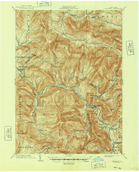
1997 Phoenicia
Ulster County, NY
2010 Phoenicia
Ulster County, NY
2013 Phoenicia
Ulster County, NY
2016 Phoenicia
Ulster County, NY
2019 Phoenicia
Ulster County, NY

2023 Phoenicia
Ulster County, NY