
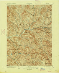
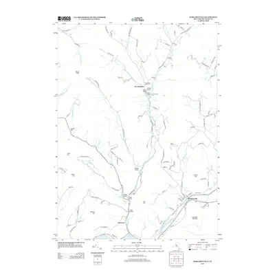
1901 Map of Margaretville
USGS Topo · Published 1961About this map
Margaretville and Arkville serve as central hubs in this early twentieth-century study of Delaware County, situated at the junction of the East Branch Delaware River and the Ulster and Delaware rail corridor. The map details a landscape defined by deep valleys or hollows, such as Weaver Hollow and Bragg Hollow, which dictated the placement of small hamlets and farmsteads. To the east, Griffin Corners and Fleischmanns sit at the foot of Fleischmann Mt., while the southern reaches are dominated by the high elevations of Balsam Roundtop and Graham Mt. near the Ulster County line. For those tracing historical land use, the map clearly delineates various water bodies like Alder Lake and Furlough Lake, alongside many family-named features and small settlements like Grant Mills and New Kingston that reflect the rural economy of the Catskills during this era.
Find a feature on this map
68 named features on this map. Tap any name to fly to it.
Don’t see what you’re looking for? This feature index may not catch every label — zoom into the map to look around manually.
Map Details
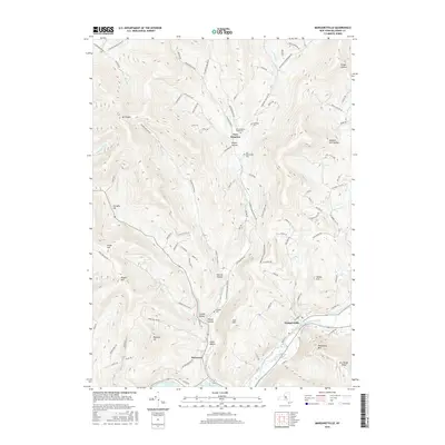
Editions of this 1901 Margaretville Map
This is the sole edition of this map. No revisions or reprints were ever made.
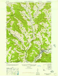
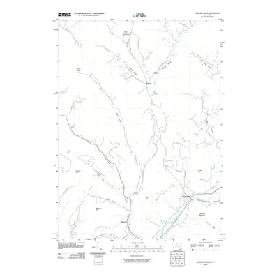
Historical Maps of Middletown Through Time
9 maps found
1901 Margaretville
Delaware County, NY
1904 Margaretville
Delaware County, NY
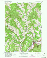
1945 Margaretville
Delaware County, NY
1946 Margaretville
Delaware County, NY
2010 Margaretville
Delaware County, NY
2013 Margaretville
Delaware County, NY
2016 Margaretville
Delaware County, NY
2019 Margaretville
Delaware County, NY

2023 Margaretville
Delaware County, NY