
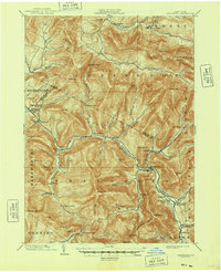
1900 Map of Phoenicia
USGS Topo · Published 1963About this map
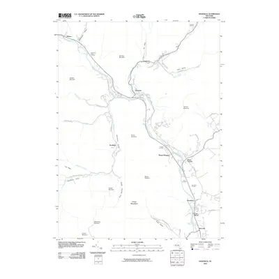
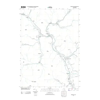
Phoenicia sits at the convergence of mountain hollows and winding creeks at the turn of the century, serving as a gateway to the high Catskills. The landscape is defined by the steep relief of the Greene Co Ulster Co border, where the headwaters of Esopus Creek and Schoharie Creek carve deep valleys. The presence of the Grand Hotel and Highmount suggests the region's early importance as a summer destination, supported by the rail connection at Mt Pleasant Station.
Find a feature on this map
88 named features on this map. Tap any name to fly to it.
Don’t see what you’re looking for? This feature index may not catch every label — zoom into the map to look around manually.
Map Details
Editions of this 1900 Phoenicia Map
This is the sole edition of this map. No revisions or reprints were ever made.
Historical Maps of Woodstock Through Time
10 maps found
1900 Phoenicia
Ulster County, NY
1903 Phoenicia
Ulster County, NY
1946 Phoenicia
Ulster County, NY
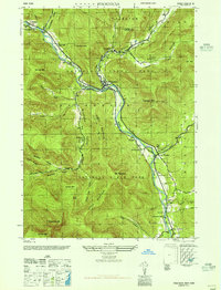
1960 Phoenicia
Ulster County, NY
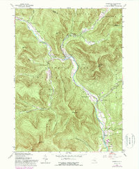
1997 Phoenicia
Ulster County, NY
2010 Phoenicia
Ulster County, NY
2013 Phoenicia
Ulster County, NY
2016 Phoenicia
Ulster County, NY
2019 Phoenicia
Ulster County, NY

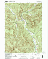
2023 Phoenicia
Ulster County, NY