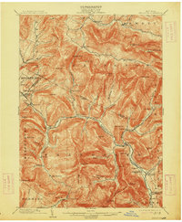
1903 Map of Phoenicia
USGS Topo · Published 1913About this map
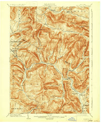
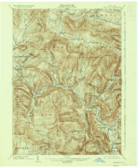
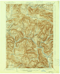
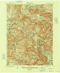
Phoenicia and the surrounding high peaks of the Catskills appear here at the opening of the twentieth century, anchored by the winding course of Esopus Creek. The map documents a landscape defined by sharp elevations and deep cloves, where narrow valleys dictate the path of settlements like Pine Hill, Shandaken, and Allaben. In this era, the region served as a prominent mountain retreat, evidenced by landmarks such as the Grand Hotel near Highmount and the remote Winnisook Lodge at the foot of Slide Mountain. Along the eastern edge, the industrial and transport corridor through Stony Clove Creek connects Chichester and Lanesville, while the rail route follows the Esopus, stopping at Mt Pleasant Station. The map captures the intricate drainage patterns of the Schoharie Creek and Beaver Kill systems before later reservoir projects would fundamentally alter the water levels in these valleys.
Find a feature on this map
92 named features on this map. Tap any name to fly to it.
Don’t see what you’re looking for? This feature index may not catch every label — zoom into the map to look around manually.
Map Details
Editions of this 1903 Phoenicia Map
9 editions found

Other maps of this area

1892 · Kaaterskill
USGS Topo · 1:62,500

1893 · Kaaterskill
USGS Topo · 1:62,500

1893 · Durham
USGS Topo · 1:62,500

1894 · Kaaterskill
USGS Topo · 1:62,500

1894 · Durham
USGS Topo · 1:62,500

1899 · Kaaterskill
USGS Topo · 1:62,500

1900 · Phoenicia
USGS Topo · 1:62,500

1901 · Rosendale
USGS Topo · 1:62,500

1901 · Margaretville
USGS Topo · 1:62,500

1901 · Gilboa
USGS Topo · 1:62,500