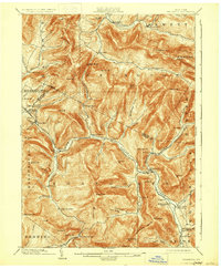
1903 Map of Phoenicia
USGS Topo · Published 1930About this map
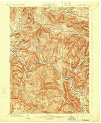
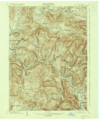
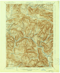
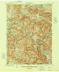
Ulster and Delaware RR tracks snake through the narrow mountain gaps of this Catskills region, defining the era's transport and tourism economy. The presence of the Highmount Grand Hotel near Pine Hill and the Winnisook Lodge deep in the wilderness indicates the area's development as a turn-of-the-century retreat. Settlements are tightly clustered in valley bottoms, following the courses of the Esopus Creek and Stony Clove Creek. Local industry and rural life are centered around stations like Mt. Pleasant Station and villages such as Phoenicia, Chichester, and Bushnellsville. High-elevation landmarks like Slide Mountain and Giant Ledge dominate the terrain, illustrating the significant physical barriers that funneled early roads and rails into the specific corridors that still define the region today.
Find a feature on this map
86 named features on this map. Tap any name to fly to it.
Don’t see what you’re looking for? This feature index may not catch every label — zoom into the map to look around manually.
Map Details
Editions of this 1903 Phoenicia Map
9 editions found

Other maps of this area

1892 · Kaaterskill
USGS Topo · 1:62,500

1893 · Kaaterskill
USGS Topo · 1:62,500

1893 · Durham
USGS Topo · 1:62,500

1894 · Kaaterskill
USGS Topo · 1:62,500

1894 · Durham
USGS Topo · 1:62,500

1899 · Kaaterskill
USGS Topo · 1:62,500

1900 · Phoenicia
USGS Topo · 1:62,500

1901 · Rosendale
USGS Topo · 1:62,500

1901 · Margaretville
USGS Topo · 1:62,500

1901 · Gilboa
USGS Topo · 1:62,500