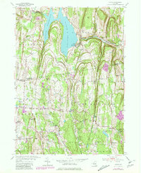
1953 Map of Alcove
USGS Topo · Published 1981About this map
The Alcove Reservoir dominates the landscape north of the Albany and Greene County line, serving as a central hydraulic feature fed by Hannacrois Creek. This mid-century survey illustrates a rural transition where traditional agriculture meets infrastructure development, marked by the Spillway and the nearby Gaging Sta. Small hamlets such as Alcove and Coeymans Hollow are shown with their local schoolhouses, including Sch No 10 and School No 7.
Find a feature on this map
46 named features on this map. Tap any name to fly to it.
Don’t see what you’re looking for? This feature index may not catch every label — zoom into the map to look around manually.
Map Details
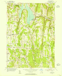
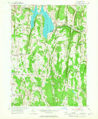
Editions of this 1953 Alcove Map
3 editions found
Other maps of this area

1893 · Coxsackie
USGS Topo · 1:62,500

1893 · Durham
USGS Topo · 1:62,500

1893 · Albany
USGS Topo · 1:62,500

1894 · Coxsackie
USGS Topo · 1:62,500

1894 · Durham
USGS Topo · 1:62,500

1895 · Albany
USGS Topo · 1:62,500

1898 · Albany
USGS Topo · 1:62,500

1900 · Berne
USGS Topo · 1:62,500

1903 · Berne
USGS Topo · 1:62,500

1927 · Albany
USGS Topo · 1:62,500