
1903 Map of Berne
USGS Topo · Published 1903About this map
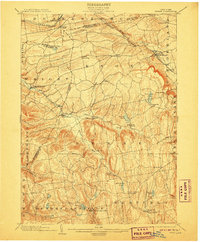
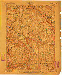
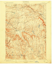
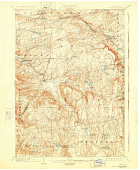
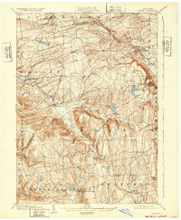
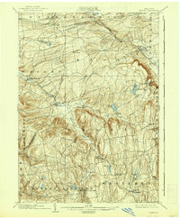
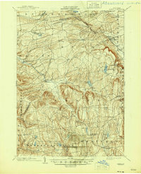
The Helderberg Escarpment and the plateau of western Albany Co. define the settlement patterns here at the turn of the century. The Delaware and Hudson R. R. cuts across the northern edge through Altamont and Delanson, while the interior remains a landscape of high valleys and remote hill towns. Agricultural clusters like Quaker Street and Berne are connected by winding roads that follow the drainage of Fox Creek and the Switz Kill.
Find a feature on this map
50 named features on this map. Tap any name to fly to it.
Don’t see what you’re looking for? This feature index may not catch every label — zoom into the map to look around manually.
Map Details
Editions of this 1903 Berne Map
8 editions found
Other maps of this area

1893 · Schenectady
USGS Topo · 1:62,500

1893 · Coxsackie
USGS Topo · 1:62,500

1893 · Durham
USGS Topo · 1:62,500

1893 · Albany
USGS Topo · 1:62,500

1894 · Coxsackie
USGS Topo · 1:62,500

1894 · Durham
USGS Topo · 1:62,500

1895 · Albany
USGS Topo · 1:62,500

1895 · Schenectady
USGS Topo · 1:62,500

1895 · Amsterdam
USGS Topo · 1:62,500

1896 · Fonda
USGS Topo · 1:62,500