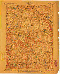
1903 Map of Berne
USGS Topo · Published 1910About this map
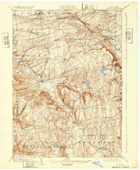
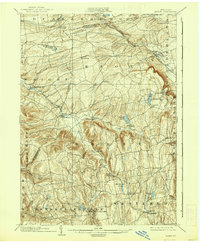
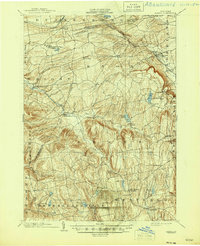
Rensselaerville and its surrounding hamlets define this 1903 survey, which traces the complex geography where Schenectady Co. Albany Co. and Schoharie Co. Albany Co. lines converge. The northern corridor is dominated by the Delaware and Hudson RR (Susquehanna Division), connecting Delanson and Altamont via the Normans Kill valley. The map reveals a high concentration of localized settlements such as Quaker Street, Gallupville, and Van Leuvans Corners, reflecting a late 19th-century agrarian economy deeply integrated with natural water sources.
Find a feature on this map
52 named features on this map. Tap any name to fly to it.
Don’t see what you’re looking for? This feature index may not catch every label — zoom into the map to look around manually.
Map Details
Editions of this 1903 Berne Map
8 editions found

Other maps of this area

1893 · Schenectady
USGS Topo · 1:62,500

1893 · Coxsackie
USGS Topo · 1:62,500

1893 · Durham
USGS Topo · 1:62,500

1893 · Albany
USGS Topo · 1:62,500

1894 · Coxsackie
USGS Topo · 1:62,500

1894 · Durham
USGS Topo · 1:62,500

1895 · Albany
USGS Topo · 1:62,500

1895 · Schenectady
USGS Topo · 1:62,500

1895 · Amsterdam
USGS Topo · 1:62,500

1896 · Fonda
USGS Topo · 1:62,500