
1894 Map of Coxsackie
USGS Topo · Published 1894About this map
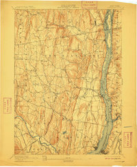
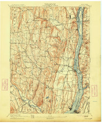
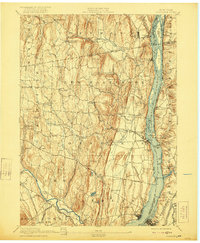
Hudson River commerce and industrial transport define this late 19th-century landscape, as the West Shore R. R. and the New York Central and Hudson River R. R. flank the water on both sides. The river itself is a complex network of islands and channels, including Hotaling Id. and Bronk Id., leading toward the busy riverfronts of Coxsackie and Athens. Inland, the terrain rises sharply into the distinctive hills of Greene and Albany counties, where smaller hamlets like Coeyman Hollow and Urlton developed along tributary waters such as Hannacrois Creek.
Find a feature on this map
91 named features on this map. Tap any name to fly to it.
Don’t see what you’re looking for? This feature index may not catch every label — zoom into the map to look around manually.
Map Details
Editions of this 1894 Coxsackie Map
8 editions found
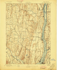
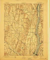
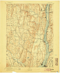
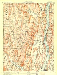
Other maps of this area

1892 · Kaaterskill
USGS Topo · 1:62,500

1893 · Kaaterskill
USGS Topo · 1:62,500

1893 · Troy
USGS Topo · 1:62,500

1893 · Coxsackie
USGS Topo · 1:62,500

1893 · Durham
USGS Topo · 1:62,500

1893 · Albany
USGS Topo · 1:62,500

1894 · Kaaterskill
USGS Topo · 1:62,500

1894 · Durham
USGS Topo · 1:62,500

1895 · Troy
USGS Topo · 1:62,500

1895 · Catskill
USGS Topo · 1:62,500