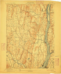
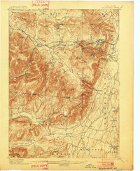
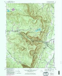
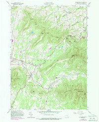
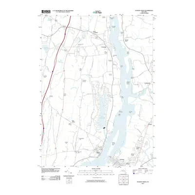
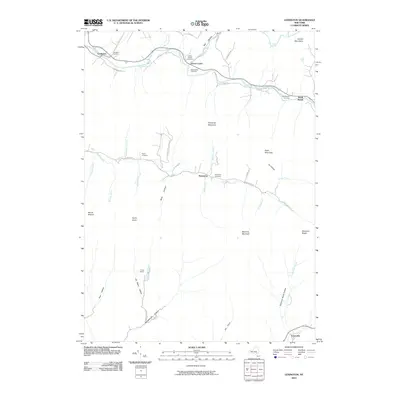
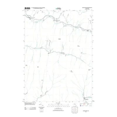
1894 Map of Coxsackie
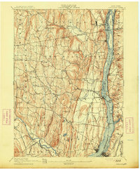
USGS Topo · Published 1899About this map
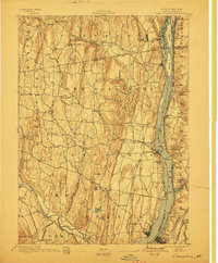
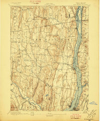
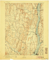
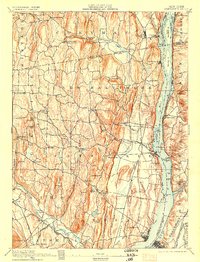
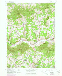
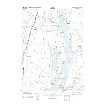
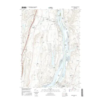
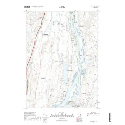
The Hudson River corridor in the late nineteenth century was a bustling artery of industry and transit, anchored by the competing West Shore R.R. and New York Central and Hudson River R.R. lines. These tracks flank the river, connecting historic riverfront hubs like New Baltimore and Coxsackie Station with smaller settlements such as Nuttenhook and Stuyvesant. The river itself is dominated by an intricate archipelago of islands including Lower Schodack Id. and Bronk Id., reflecting the complex navigation of the era.
Find a feature on this map
89 named features on this map. Tap any name to fly to it.
Don’t see what you’re looking for? This feature index may not catch every label — zoom into the map to look around manually.
Map Details
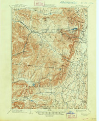
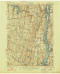
Editions of this 1894 Coxsackie Map
8 editions found

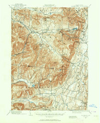
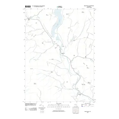
Historical Maps of Schodack Through Time
76 maps found
1892 Kaaterskill
Greene County, NY

1893 Coxsackie
Greene County, NY

1893 Durham
Greene County, NY

1893 Kaaterskill
Greene County, NY

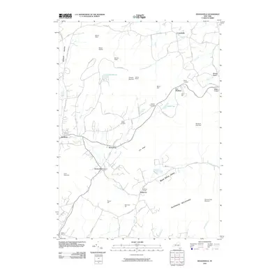
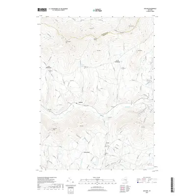
1894 Coxsackie
Greene County, NY
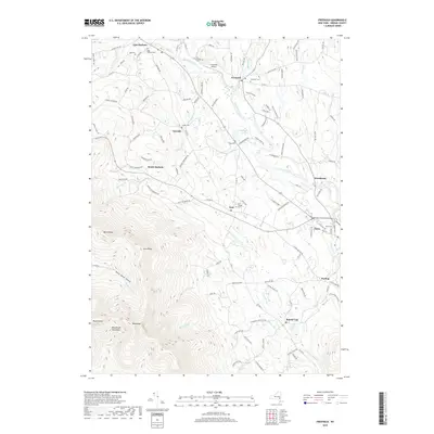
1894 Durham
Greene County, NY

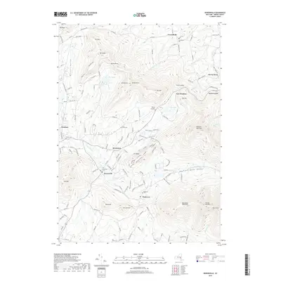
1894 Kaaterskill
Greene County, NY
1899 Kaaterskill
Greene County, NY
1903 Kaaterskill
Greene County, NY
1929 Coxsackie
Greene County, NY
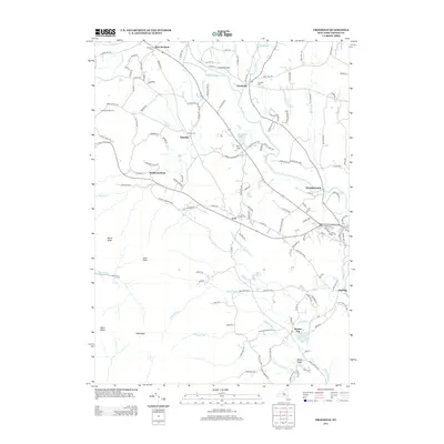
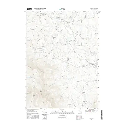
1943 Freehold
Greene County, NY
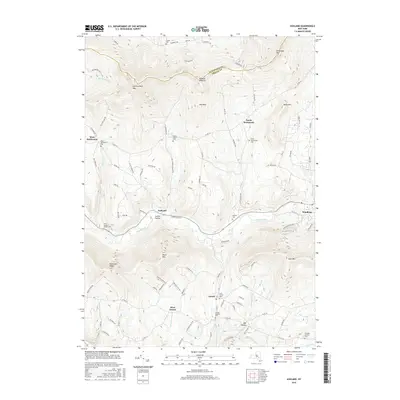
1945 Ashland
Greene County, NY

1945 Freehold
Greene County, NY

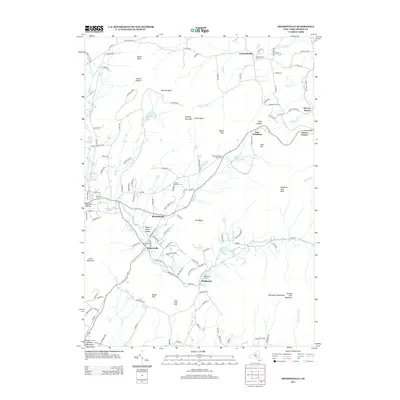
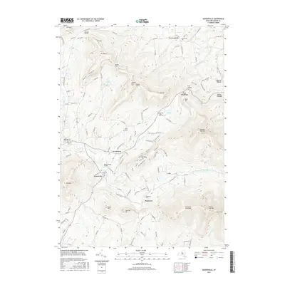
1945 Hensonville
Greene County, NY
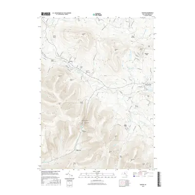
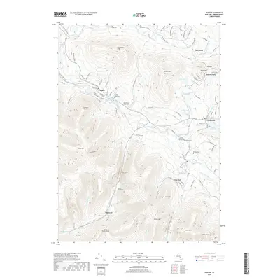
1945 Hunter
Greene County, NY
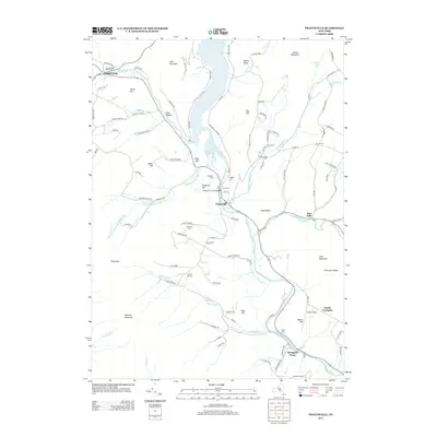
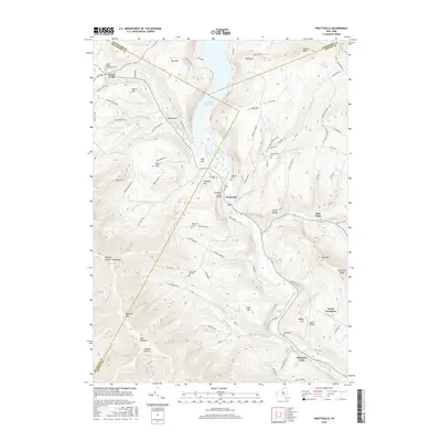
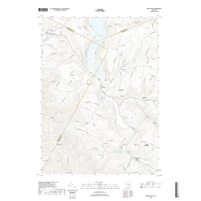
1945 Prattsville
Greene County, NY

1946 Ashland
Greene County, NY
1946 Hensonville
Greene County, NY

1946 Hunter
Greene County, NY
1946 Kaaterskill
Greene County, NY

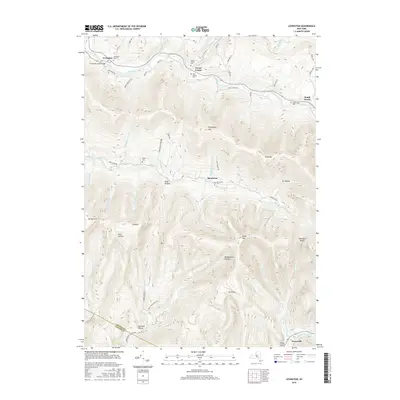
1946 Lexington
Greene County, NY

1946 Prattsville
Greene County, NY
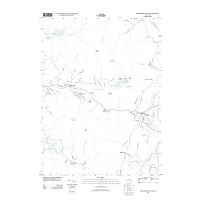
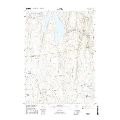
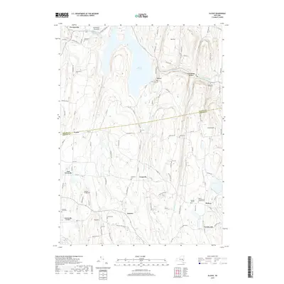
1953 Alcove
Greene County, NY
1953 Hudson North
Greene County, NY
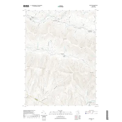
1960 Lexington
Greene County, NY

1978 Wilmington
Greene County, NY
1980 Hensonville
Greene County, NY

1980 Hudson North
Greene County, NY

1980 Hunter
Greene County, NY

1997 Hunter
Greene County, NY

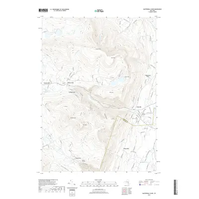
1997 Kaaterskill Clove
Greene County, NY
2010 Alcove
Greene County, NY
2010 Ashland
Greene County, NY
2010 Freehold
Greene County, NY
2010 Hensonville
Greene County, NY
2010 Hudson North
Greene County, NY
2010 Hunter
Greene County, NY
2010 Kaaterskill Clove
Greene County, NY
2010 Lexington
Greene County, NY
2010 Prattsville
Greene County, NY
2013 Alcove
Greene County, NY
2013 Ashland
Greene County, NY
2013 Freehold
Greene County, NY
2013 Hensonville
Greene County, NY
2013 Hudson North
Greene County, NY

2013 Hunter
Greene County, NY
2013 Kaaterskill Clove
Greene County, NY
2013 Lexington
Greene County, NY
2013 Prattsville
Greene County, NY
2016 Alcove
Greene County, NY
2016 Ashland
Greene County, NY
2016 Freehold
Greene County, NY
2016 Hensonville
Greene County, NY
2016 Hudson North
Greene County, NY
2016 Hunter
Greene County, NY
2016 Kaaterskill Clove
Greene County, NY
2016 Lexington
Greene County, NY
2016 Prattsville
Greene County, NY
2019 Alcove
Greene County, NY
2019 Ashland
Greene County, NY
2019 Freehold
Greene County, NY
2019 Hensonville
Greene County, NY
2019 Hudson North
Greene County, NY
2019 Hunter
Greene County, NY
2019 Kaaterskill Clove
Greene County, NY
2019 Lexington
Greene County, NY
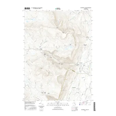
2019 Prattsville
Greene County, NY

2023 Alcove
Greene County, NY

2023 Ashland
Greene County, NY

2023 Freehold
Greene County, NY

2023 Hensonville
Greene County, NY

2023 Hudson North
Greene County, NY

2023 Hunter
Greene County, NY

2023 Kaaterskill Clove
Greene County, NY

2023 Lexington
Greene County, NY

2023 Prattsville
Greene County, NY