
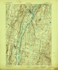
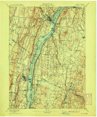
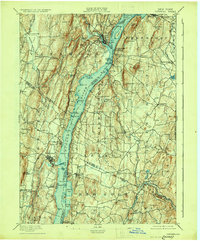
1895 Map of Catskill
USGS Topo · Published 1895About this map
The Hudson River serves as the central artery for this 1895 survey, dividing the landscape between Greene and Columbia counties. This era reveals a river-driven economy before modern bridges dominated the crossing, where Burden Dock and Long Dock facilitated trade. The eastern shore is characterized by established estates and agricultural towns like Clermont and Germantown, while the western side features the industrial bustle of Saugerties near the mouth of Esopus Creek.
Find a feature on this map
97 named features on this map. Tap any name to fly to it.
Don’t see what you’re looking for? This feature index may not catch every label — zoom into the map to look around manually.
Map Details
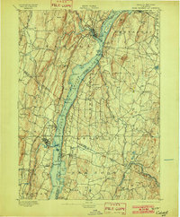
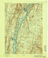
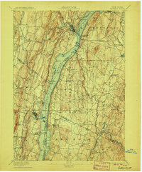
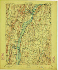
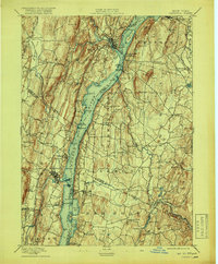
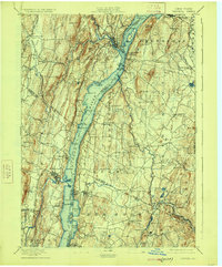
Editions of this 1895 Catskill Map
10 editions found
Other maps of this area

1892 · Kaaterskill
USGS Topo · 1:62,500

1893 · Kaaterskill
USGS Topo · 1:62,500

1893 · Coxsackie
USGS Topo · 1:62,500

1893 · Durham
USGS Topo · 1:62,500

1894 · Coxsackie
USGS Topo · 1:62,500

1894 · Kaaterskill
USGS Topo · 1:62,500

1894 · Durham
USGS Topo · 1:62,500

1898 · Rhinebeck
USGS Topo · 1:62,500

1899 · Kaaterskill
USGS Topo · 1:62,500

1899 · Millbrook
USGS Topo · 1:62,500