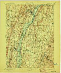
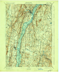
1895 Map of Catskill
USGS Topo · Published 1906About this map
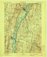
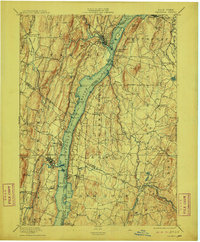
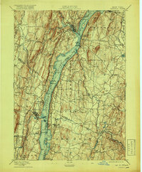
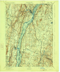
The Hudson River serves as the central artery for this late 19th-century landscape, dividing Greene, Columbia, and Ulster counties. The riverfront is heavily defined by commerce and transit, featuring specialized river access points like Oak Hill Landing, Smith Landing, and the Burden Dock. Settlements such as Saugerties, Germantown, and Tivoli are deeply integrated with the New York Central and Hudson River R.R., which follows the eastern shore, while the Catskill Mt. and Cairo R.R. pushes westward from the water toward the heights of Quarry Hill.
Find a feature on this map
97 named features on this map. Tap any name to fly to it.
Don’t see what you’re looking for? This feature index may not catch every label — zoom into the map to look around manually.
Map Details
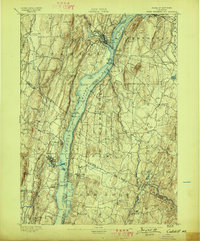
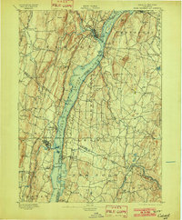
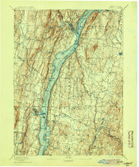
Editions of this 1895 Catskill Map
10 editions found
Other maps of this area

1892 · Kaaterskill
USGS Topo · 1:62,500

1893 · Kaaterskill
USGS Topo · 1:62,500

1893 · Coxsackie
USGS Topo · 1:62,500

1893 · Durham
USGS Topo · 1:62,500

1894 · Coxsackie
USGS Topo · 1:62,500

1894 · Kaaterskill
USGS Topo · 1:62,500

1894 · Durham
USGS Topo · 1:62,500

1895 · Catskill
USGS Topo · 1:62,500

1898 · Rhinebeck
USGS Topo · 1:62,500

1899 · Kaaterskill
USGS Topo · 1:62,500