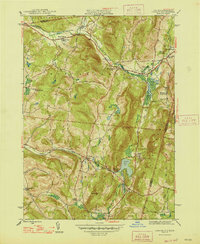
1947 Map of Canaan
USGS Topo · Published 1947About this map
Canaan, New York, and the surrounding hamlets of New Lebanon and Lebanon Springs are situated in a landscape defined by the Hancock Range and the Kinderhook Creek valley. Shortly after the war, the region maintained a character rooted in its agricultural and institutional foundations. The Rutland Railroad cuts through the northern corridor, serving the communities of West Lebanon and New Lebanon Center. Educational and social institutions are prominent landmarks, including the Berkshire Industrial Farm and Mt Lebanon Darrow Sch.
Find a feature on this map
46 named features on this map. Tap any name to fly to it.
Don’t see what you’re looking for? This feature index may not catch every label — zoom into the map to look around manually.
Map Details
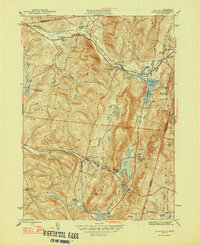
Editions of this 1947 Canaan Map
2 editions found
Other maps of this area

1888 · Berlin
USGS Topo · 1:62,500

1888 · Pittsfield
USGS Topo · 1:62,500

1890 · Pittsfield
USGS Topo · 1:62,500

1890 · Berlin
USGS Topo · 1:62,500

1893 · Troy
USGS Topo · 1:62,500

1893 · Pittsfield
USGS Topo · 1:62,500

1894 · Berlin
USGS Topo · 1:62,500

1894 · Pittsfield
USGS Topo · 1:62,500

1895 · Troy
USGS Topo · 1:62,500

1897 · Pittsfield
USGS Topo · 1:62,500