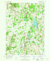
1953 Map of Kinderhook
USGS Topo · Published 1965About this map
The village of Kinderhook and its surroundings in northern Columbia County are preserved here just as they appeared in the early 1950s. The area's deep ties to local folklore and history are evident with the presence of the House of History and the Ichabod Crane Community House, reflecting the region's literary and heritage significance. The landscape is defined by the convergence of major waterways, including Kinderhook Creek, Valatie Kill, and the smaller Muitzes Kill, which historically powered local industry and mills.
Find a feature on this map
24 named features on this map. Tap any name to fly to it.
Don’t see what you’re looking for? This feature index may not catch every label — zoom into the map to look around manually.
Map Details
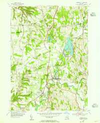
Editions of this 1953 Kinderhook Map
2 editions found
Other maps of this area

1893 · Troy
USGS Topo · 1:62,500

1893 · Coxsackie
USGS Topo · 1:62,500

1893 · Albany
USGS Topo · 1:62,500

1894 · Coxsackie
USGS Topo · 1:62,500

1895 · Troy
USGS Topo · 1:62,500

1895 · Albany
USGS Topo · 1:62,500

1898 · Albany
USGS Topo · 1:62,500

1898 · Troy
USGS Topo · 1:62,500

1903 · Kinderhook
USGS Topo · 1:62,500

1925 · Troy
USGS Topo · 1:48,000