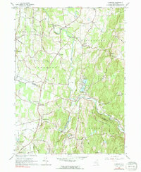
1963 Map of Clermont
USGS Topo · Published 1991About this map
The Roeliff Jansen Kill winds through this Hudson Valley landscape, defining the transition between Germantown, Livingston, and Clermont. This early 1960s survey captures a rural network of small hamlets and agricultural crossroads, including Bingham Mills and the descriptively named Blue Store. The southern portion of the map is anchored by Upper Red Hook and Red Hook Mills, where local commerce clustered around water power and the intersection of Old Post Road.
Find a feature on this map
53 named features on this map. Tap any name to fly to it.
Don’t see what you’re looking for? This feature index may not catch every label — zoom into the map to look around manually.
Map Details
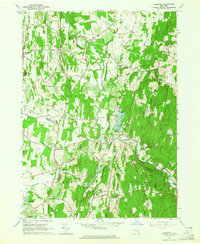
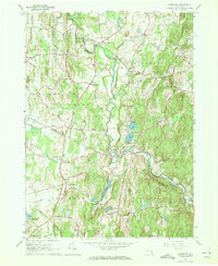
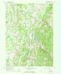
Editions of this 1963 Clermont Map
4 editions found
Other maps of this area

1895 · Catskill
USGS Topo · 1:62,500

1898 · Rhinebeck
USGS Topo · 1:62,500

1899 · Millbrook
USGS Topo · 1:62,500

1902 · Millbrook
USGS Topo · 1:62,500

1902 · Copake
USGS Topo · 1:62,500

1904 · Copake
USGS Topo · 1:62,500

1934 · Rhinebeck
USGS Topo · 1:48,000

1934 · Catskill
USGS Topo · 1:62,500

1938 · Catskill
USGS Topo · 1:62,500

1939 · Rhinebeck
USGS Topo · 1:62,500