
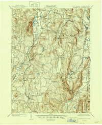
1902 Map of Millbrook
USGS Topo · Published 1902About this map
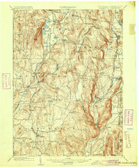
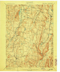
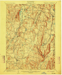
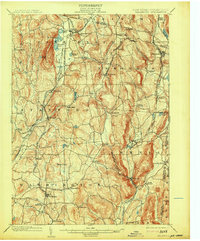
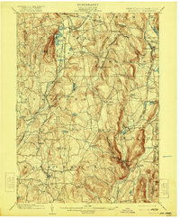
Pine Plains and Millerton anchor a landscape defined by an intricate network of competing rail lines at the turn of the century. The Dutchess and Connecticut R. R. and the Newburgh Dutchess and Connecticut R. R. converge at Stissing, illustrating how vital transport was to the local agricultural and industrial economy. To the east, the New York and Harlem R. R. follows the valley of the Tenmile River through Wassaic and Amenia. The terrain is marked by prominent ridges like Stissing Mtn. and the deep cut of Turkey Hollow. Smaller hamlets and junctions, such as Bethel Station, Irondale, and Halls Mills, reveal the dense settlement patterns of eastern Dutchess County before the dominance of modern highways.
Find a feature on this map
72 named features on this map. Tap any name to fly to it.
Don’t see what you’re looking for? This feature index may not catch every label — zoom into the map to look around manually.
Map Details
Editions of this 1902 Millbrook Map
10 editions found
Other maps of this area

1885 · Sheffield
USGS Topo · 1:62,500

1888 · Sheffield
USGS Topo · 1:62,500

1891 · Sheffield
USGS Topo · 1:62,500

1892 · Cornwall
USGS Topo · 1:62,500

1892 · New Milford
USGS Topo · 1:62,500

1893 · Sheffield
USGS Topo · 1:62,500

1893 · New Milford
USGS Topo · 1:62,500

1893 · Cornwall
USGS Topo · 1:62,500

1893 · Clove
USGS Topo · 1:62,500

1893 · Poughkeepsie
USGS Topo · 1:62,500