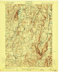
1902 Map of Millbrook
USGS Topo · Published 1921About this map
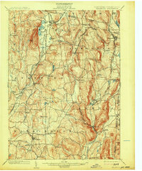
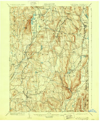
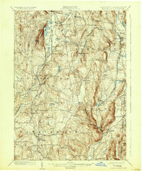
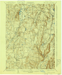
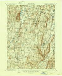
Pine Plains and Millerton anchor this survey of eastern Dutchess County, conducted just before the turn of the century. The map reveals a landscape defined by its complex narrow-gauge and freight rail connections, including the Poughkeepsie and Eastern R.R. and the New York Central and Hudson River R.R. (Harlem Division), which serviced the region's agricultural and industrial hubs. Significant water features like Thompson Pond and Stissing Pond sit at the base of Stissing Mtn, while the interior is dotted with small hamlets such as Attlebury, Smithfield, and Lithgow.
Find a feature on this map
66 named features on this map. Tap any name to fly to it.
Don’t see what you’re looking for? This feature index may not catch every label — zoom into the map to look around manually.
Map Details
Editions of this 1902 Millbrook Map
10 editions found

Other maps of this area

1885 · Sheffield
USGS Topo · 1:62,500

1888 · Sheffield
USGS Topo · 1:62,500

1891 · Sheffield
USGS Topo · 1:62,500

1892 · Cornwall
USGS Topo · 1:62,500

1892 · New Milford
USGS Topo · 1:62,500

1893 · Sheffield
USGS Topo · 1:62,500

1893 · New Milford
USGS Topo · 1:62,500

1893 · Cornwall
USGS Topo · 1:62,500

1893 · Clove
USGS Topo · 1:62,500

1893 · Poughkeepsie
USGS Topo · 1:62,500