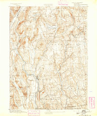
1893 Map of New Milford
USGS Topo · Published 1893This historical map portrays the area of New Milford in 1893, primarily covering Litchfield County as well as portions of Fairfield County and New Haven County. Featuring a scale of 1:62500, this map provides a highly detailed snapshot of the terrain, roads, buildings, counties, and historical landmarks in the New Milford region at the time. Published in 1893, it is one of 2 known editions of this map due to revisions or reprints.
Map Details
Editions of this 1893 New Milford Map
2 editions found
Historical Maps of Litchfield County Through Time
34 maps found
1892 New Milford
Litchfield County, CT
1893 New Milford
Litchfield County, CT
1893 Sandisfield
Litchfield County, CT
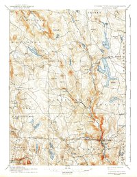
1897 Sandisfield
Litchfield County, CT
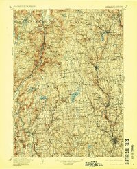
1904 Litchfield
Litchfield County, CT
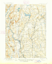
1904 New Milford
Litchfield County, CT
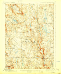
1907 Sandisfield
Litchfield County, CT
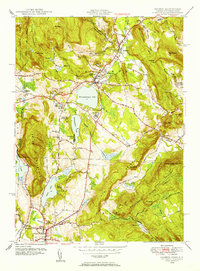
1948 Sharon
Litchfield County, CT
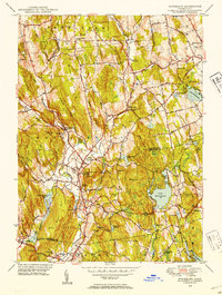
1948 Woodbury
Litchfield County, CT
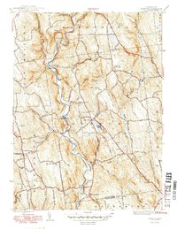
1949 Roxbury
Litchfield County, CT
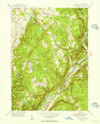
1950 Ellsworth
Litchfield County, CT
1950 Kent
Litchfield County, CT
1950 Litchfield
Litchfield County, CT
1950 Sharon
Litchfield County, CT
1950 South Canaan
Litchfield County, CT
1950 Woodbury
Litchfield County, CT
1951 New Hartford
Litchfield County, CT
1951 New Milford
Litchfield County, CT
1951 Norfolk
Litchfield County, CT
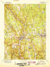
1951 Thomaston
Litchfield County, CT
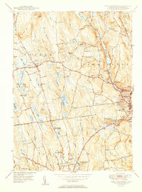
1951 West Torrington
Litchfield County, CT
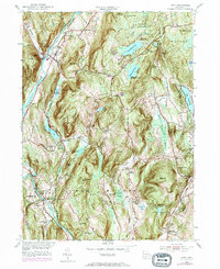
1955 Kent
Litchfield County, CT
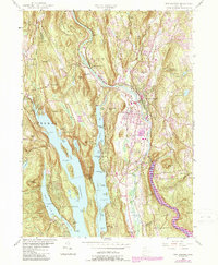
1955 New Milford
Litchfield County, CT
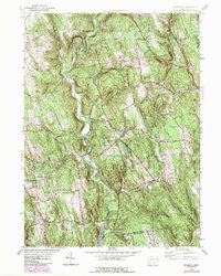
1955 Roxbury
Litchfield County, CT
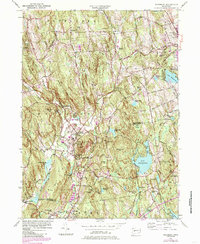
1955 Woodbury
Litchfield County, CT
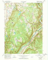
1956 Ellsworth
Litchfield County, CT
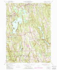
1956 Litchfield
Litchfield County, CT
1956 New Hartford
Litchfield County, CT
1956 Norfolk
Litchfield County, CT
1956 Sharon
Litchfield County, CT
1956 South Canaan
Litchfield County, CT
1956 Thomaston
Litchfield County, CT
1956 West Torrington
Litchfield County, CT
1965 Norfolk
Litchfield County, CT