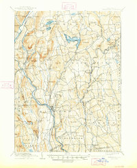
1904 Map of New Milford
USGS Topo · Published 1947About this map
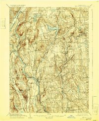
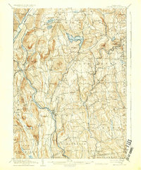
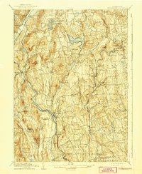
The Housatonic River and Shepaug River define the industrial and agricultural landscape of this Litchfield County region at the turn of the century. The New York New Haven and Hartford RR, specifically the Berkshire Division, follows the Housatonic valley, connecting river towns like New Milford, Boardman, and Kent. Further east, the rail network serves the Shepaug River valley with stops at Roxbury Station, Washington Depot, and Romford.
Find a feature on this map
119 named features on this map. Tap any name to fly to it.
Don’t see what you’re looking for? This feature index may not catch every label — zoom into the map to look around manually.
Map Details
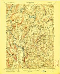
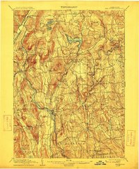
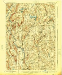
Editions of this 1904 New Milford Map
8 editions found

Other maps of this area

1889 · Derby
USGS Topo · 1:62,500

1891 · Derby
USGS Topo · 1:62,500

1892 · Winsted
USGS Topo · 1:62,500

1892 · Danbury
USGS Topo · 1:62,500

1892 · Cornwall
USGS Topo · 1:62,500

1892 · New Milford
USGS Topo · 1:62,500

1892 · Carmel
USGS Topo · 1:62,500

1893 · Carmel
USGS Topo · 1:62,500

1893 · Waterbury
USGS Topo · 1:62,500

1893 · New Milford
USGS Topo · 1:62,500