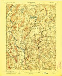
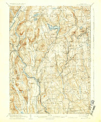
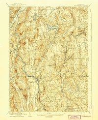
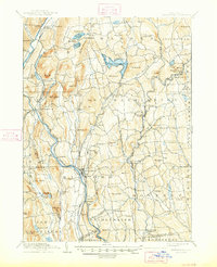
1904 Map of New Milford
USGS Topo · Published 1908About this map
The Housatonic River and its parallel New York New Haven and Hartford RR (Berkshire Division) dominate the western landscape of Litchfield County at the turn of the twentieth century. Industrial history is evident at Kent Furnace and Mine Hill, while the rail corridor supports distinct commercial hubs such as Washington Depot and Morris Station. Higher elevations around The Pinnacle and Mt Tom surround the early recreational and residential centers of Lake Waramaug and New Preston. This era reflects a transition where traditional Connecticut agriculture and early industry at Merwinsville met the emerging influence of the railroad. Genealogists and local historians can trace family-named features like Spooner Hill and Peet Hill, or locate the specific placement of the West Morris P.O. and the vanished crossroads of Merryall.
Find a feature on this map
126 named features on this map. Tap any name to fly to it.
Don’t see what you’re looking for? This feature index may not catch every label — zoom into the map to look around manually.
Map Details
Editions of this 1904 New Milford Map
8 editions found

Other maps of this area

1889 · Derby
USGS Topo · 1:62,500

1891 · Derby
USGS Topo · 1:62,500

1892 · Winsted
USGS Topo · 1:62,500

1892 · Danbury
USGS Topo · 1:62,500

1892 · Cornwall
USGS Topo · 1:62,500

1892 · New Milford
USGS Topo · 1:62,500

1892 · Carmel
USGS Topo · 1:62,500

1893 · Carmel
USGS Topo · 1:62,500

1893 · Waterbury
USGS Topo · 1:62,500

1893 · New Milford
USGS Topo · 1:62,500