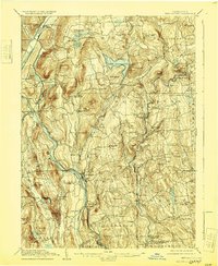
1904 Map of New Milford
USGS Topo · Published 1929About this map
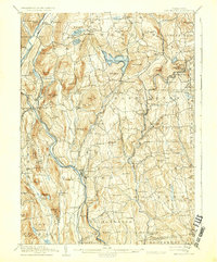
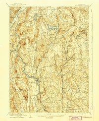
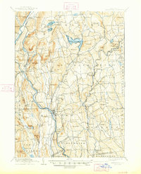
New Milford serves as a primary hub within this turn-of-the-century Litchfield County landscape, where the Housatonic River and the Berkshire Division railroad define the region's industrial and transport corridors. The geography is characterized by a dense network of upland peaks like Mt Bushnell and The Pinnacle overlooking prominent water bodies such as Lake Waramaug. Numerous small villages and post offices are scattered across the terrain, including Kent Furnace, Washington Depot, and West Morris P.O., reflecting a distributed rural economy before the full modernization of the mid-20th century. Local industry is signaled by features like Mine Hill and the presence of rail stops such as Roxbury Station, while the Aspetuck and Shepaug River valleys provide fertile ground for the established settlements of Marbledale and New Preston. This survey captures the intricate relationship between the steep, wooded hills and the river-bottom commerce that sustained these Connecticut communities.
Find a feature on this map
111 named features on this map. Tap any name to fly to it.
Don’t see what you’re looking for? This feature index may not catch every label — zoom into the map to look around manually.
Map Details
Editions of this 1904 New Milford Map
8 editions found

Other maps of this area

1889 · Derby
USGS Topo · 1:62,500

1891 · Derby
USGS Topo · 1:62,500

1892 · Winsted
USGS Topo · 1:62,500

1892 · Danbury
USGS Topo · 1:62,500

1892 · Cornwall
USGS Topo · 1:62,500

1892 · New Milford
USGS Topo · 1:62,500

1892 · Carmel
USGS Topo · 1:62,500

1893 · Carmel
USGS Topo · 1:62,500

1893 · Waterbury
USGS Topo · 1:62,500

1893 · New Milford
USGS Topo · 1:62,500