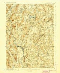
1904 Map of New Milford
USGS Topo · Published 1941About this map
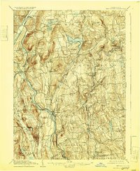
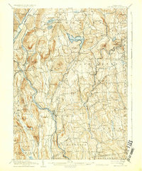
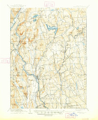
The Housatonic River carves a deep path through the Litchfield Hills, serving as the primary corridor for the Housatonic Railroad and its many trackside hamlets. In the early 20th century, the valley's industrial legacy is evident at Kent Furnace, while the wider region is dotted with agricultural and mill-centered villages like Gaylordsville, New Preston, and Marbledale. The arrival of the New York New Haven and Hartford rail lines fostered the growth of depots and post offices, including the West Morris P.O. and Roxbury Station. Upland, the landscape is defined by significant water bodies such as Lake Waramaug and the North Spectacle Pond, while rugged terrain landmarks like Mine Hill and Mt Tom rise above the branching courses of the Aspetuck River and Shepaug River.
Find a feature on this map
112 named features on this map. Tap any name to fly to it.
Don’t see what you’re looking for? This feature index may not catch every label — zoom into the map to look around manually.
Map Details
Editions of this 1904 New Milford Map
8 editions found

Other maps of this area

1889 · Derby
USGS Topo · 1:62,500

1891 · Derby
USGS Topo · 1:62,500

1892 · Winsted
USGS Topo · 1:62,500

1892 · Danbury
USGS Topo · 1:62,500

1892 · Cornwall
USGS Topo · 1:62,500

1892 · New Milford
USGS Topo · 1:62,500

1892 · Carmel
USGS Topo · 1:62,500

1893 · Carmel
USGS Topo · 1:62,500

1893 · Waterbury
USGS Topo · 1:62,500

1893 · New Milford
USGS Topo · 1:62,500