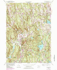
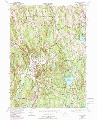
1955 Map of Woodbury
USGS Topo · Published 1985About this map
Regina Laudis Priory stands prominently in the northern landscape of this mid-century Connecticut survey, characterizing a region defined by its prominent ridges and interconnected water systems. The twin settlements of Woodbury and North Woodbury serve as the central hubs, situated along the Pomperaug River and framed by the dramatic Orenaug Hills and Orenaug Rocks. To the east, the landscape transitions into a cluster of recreational and utility-focused water bodies, notably Lake Quassapaug and the Woodbury Reservoir.
Find a feature on this map
75 named features on this map. Tap any name to fly to it.
Don’t see what you’re looking for? This feature index may not catch every label — zoom into the map to look around manually.
Map Details
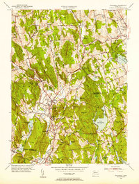
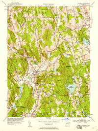
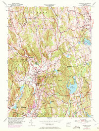
Editions of this 1955 Woodbury Map
5 editions found
Other maps of this area

1889 · Derby
USGS Topo · 1:62,500

1891 · Derby
USGS Topo · 1:62,500

1892 · Danbury
USGS Topo · 1:62,500

1892 · New Milford
USGS Topo · 1:62,500

1893 · Waterbury
USGS Topo · 1:62,500

1893 · New Milford
USGS Topo · 1:62,500

1893 · Derby
USGS Topo · 1:62,500

1904 · New Milford
USGS Topo · 1:62,500

1904 · Waterbury
USGS Topo · 1:62,500

1904 · Litchfield
USGS Topo · 1:125,000