
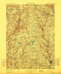
1904 Map of Litchfield
USGS Topo · Published 1904About this map
The Housatonic River corridor defines this Northwest Connecticut landscape during the late nineteenth century, revealing a region where early industrial sites and mountain agriculture coexist. Industrial history is etched into the terrain at Ore Hill and Kent Furnace, reflecting the heritage of the Salisbury iron district. The network of the late Victorian era is well-established, with the railroad serving stops like Limerock Sta. and Colebrook Sta., connecting isolated upland villages to larger centers like Torrington and Winsted.
Find a feature on this map
258 named features on this map. Tap any name to fly to it.
Don’t see what you’re looking for? This feature index may not catch every label — zoom into the map to look around manually.
Map Details
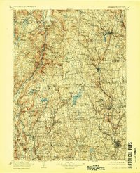
Editions of this 1904 Litchfield Map
3 editions found
Other maps of this area

1885 · Sheffield
USGS Topo · 1:62,500

1887 · Granville
USGS Topo · 1:62,500

1888 · Sheffield
USGS Topo · 1:62,500

1888 · Sandisfield
USGS Topo · 1:62,500

1889 · Derby
USGS Topo · 1:62,500

1889 · Granville
USGS Topo · 1:62,500

1891 · Sheffield
USGS Topo · 1:62,500

1891 · Derby
USGS Topo · 1:62,500

1892 · Winsted
USGS Topo · 1:62,500

1892 · New Haven
USGS Topo · 1:62,500