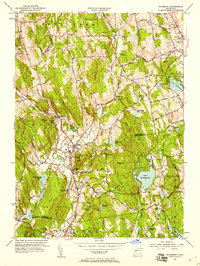
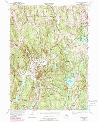
1955 Map of Woodbury
USGS Topo · Published 1958About this map
Regina Laudis Priory and the surrounding farmland of Bethlehem and Woodbury anchor this mid-century look at the Litchfield Hills. The landscape is defined by the winding course of the Nonewaug River and Weekeepeemee River, which converge toward the Pomperaug River valley. This 1955 revision documents a period of transition, showing established village centers like North Woodbury alongside growing residential pockets and farm ponds such as Avalon Farm Pond.
Find a feature on this map
82 named features on this map. Tap any name to fly to it.
Don’t see what you’re looking for? This feature index may not catch every label — zoom into the map to look around manually.
Map Details
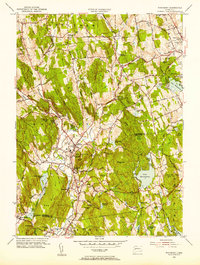
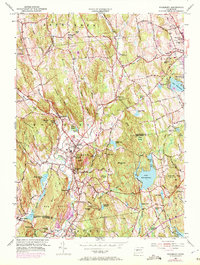
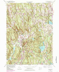
Editions of this 1955 Woodbury Map
5 editions found
Other maps of this area

1889 · Derby
USGS Topo · 1:62,500

1891 · Derby
USGS Topo · 1:62,500

1892 · Danbury
USGS Topo · 1:62,500

1892 · New Milford
USGS Topo · 1:62,500

1893 · Waterbury
USGS Topo · 1:62,500

1893 · New Milford
USGS Topo · 1:62,500

1893 · Derby
USGS Topo · 1:62,500

1904 · New Milford
USGS Topo · 1:62,500

1904 · Waterbury
USGS Topo · 1:62,500

1904 · Litchfield
USGS Topo · 1:125,000