
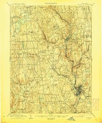
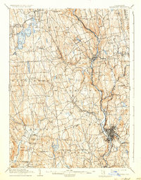
1904 Map of Waterbury
USGS Topo · Published 1904About this map
The industrial corridor of the Naugatuck River valley defines this 1904 topography, anchored by the dense street grid and rail junctions of Waterbury. The Naugatuck Division of the New York New Haven and Hartford railroad tracks the river's path, connecting manufacturing centers like Thomaston and Waterville. Away from the river, the landscape transitions to the glaciated hills and water bodies of the Litchfield Hills, including Bantam Lake and Quassapaug Pond.
Find a feature on this map
103 named features on this map. Tap any name to fly to it.
Don’t see what you’re looking for? This feature index may not catch every label — zoom into the map to look around manually.
Map Details
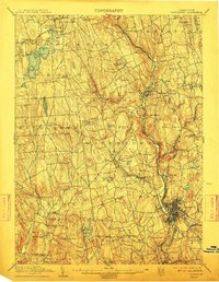
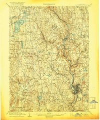
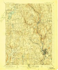
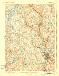
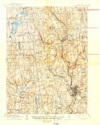
Editions of this 1904 Waterbury Map
8 editions found
Other maps of this area

1889 · Derby
USGS Topo · 1:62,500

1891 · Derby
USGS Topo · 1:62,500

1892 · Winsted
USGS Topo · 1:62,500

1892 · New Haven
USGS Topo · 1:62,500

1892 · Danbury
USGS Topo · 1:62,500

1892 · Cornwall
USGS Topo · 1:62,500

1892 · New Milford
USGS Topo · 1:62,500

1892 · Meriden
USGS Topo · 1:62,500

1892 · Granby
USGS Topo · 1:62,500

1893 · Waterbury
USGS Topo · 1:62,500