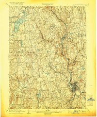
1904 Map of Waterbury
USGS Topo · Published 1920About this map
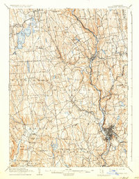
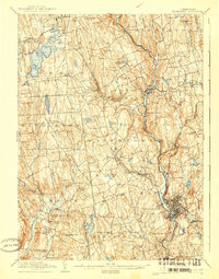
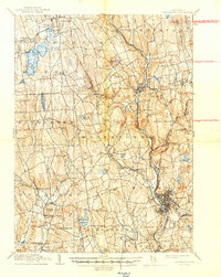
The industrial and residential growth of Waterbury at the turn of the century is etched into the landscape along the Naugatuck River valley. This 1904 survey, reprinted after the war, documents the dense urban grid of the city alongside the expanding corridors of the Ny Nh & H RR. To the north and west, the terrain transitions into the upland hills of Litchfield and Morris, where the landscape is defined by substantial water bodies like Bantam Lake and Long Meadow Pond. The map captures a moment when smaller industrial centers like Thomaston and Watertown were firmly established, yet still separated by a patchwork of rural hills including Jefferson Hill and Breakneck Hill. Genealogists will find many family-named landmarks and smaller hamlets, such as Reynolds Bridge, Minortown, and Hotchkissville, which served as local hubs for the surrounding farming and manufacturing communities before mid-century suburbanization.
Find a feature on this map
89 named features on this map. Tap any name to fly to it.
Don’t see what you’re looking for? This feature index may not catch every label — zoom into the map to look around manually.
Map Details
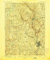
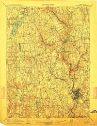
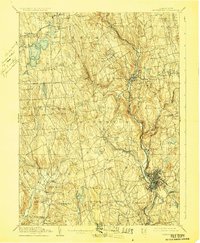
Editions of this 1904 Waterbury Map
8 editions found

Other maps of this area

1889 · Derby
USGS Topo · 1:62,500

1891 · Derby
USGS Topo · 1:62,500

1892 · Winsted
USGS Topo · 1:62,500

1892 · New Haven
USGS Topo · 1:62,500

1892 · Danbury
USGS Topo · 1:62,500

1892 · Cornwall
USGS Topo · 1:62,500

1892 · New Milford
USGS Topo · 1:62,500

1892 · Meriden
USGS Topo · 1:62,500

1892 · Granby
USGS Topo · 1:62,500

1893 · Waterbury
USGS Topo · 1:62,500