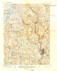
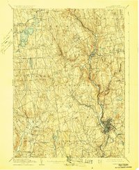
1904 Map of Waterbury
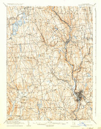
USGS Topo · Published 1947About this map
Waterbury serves as the industrial anchor of this region, concentrated where the Naugatuck River meets the rail lines of the New York New Haven and Hartford. The landscape transitions from the dense urban core and its neighboring mills in Waterville and Hopeville to the sprawling agricultural and summer retreats of the Litchfield Hills. The presence of Bantam Lake and numerous smaller water bodies like Gridley Pond and Lockwood Pond highlights the early 20th-century reliance on local hydraulics and the emerging reservoir systems for growing population centers.
Find a feature on this map
107 named features on this map. Tap any name to fly to it.
Don’t see what you’re looking for? This feature index may not catch every label — zoom into the map to look around manually.
Map Details
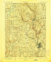
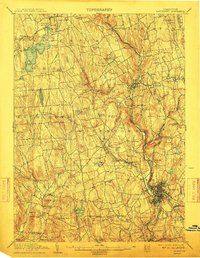
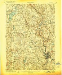
Editions of this 1904 Waterbury Map
8 editions found

Other maps of this area

1889 · Derby
USGS Topo · 1:62,500

1891 · Derby
USGS Topo · 1:62,500

1892 · Winsted
USGS Topo · 1:62,500

1892 · New Haven
USGS Topo · 1:62,500

1892 · Danbury
USGS Topo · 1:62,500

1892 · Cornwall
USGS Topo · 1:62,500

1892 · New Milford
USGS Topo · 1:62,500

1892 · Meriden
USGS Topo · 1:62,500

1892 · Granby
USGS Topo · 1:62,500

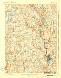
1893 · Waterbury
USGS Topo · 1:62,500