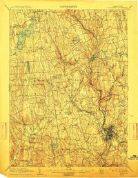
1904 Map of Waterbury
USGS Topo · Published 1912About this map
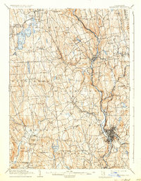
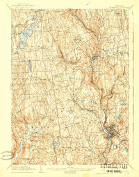
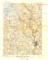
The Naugatuck River valley serves as the industrial and transportation spine of this early 20th-century landscape, anchored by the dense urban footprint of Waterbury. The topography reveals a complex network of manufacturing centers and rural hillsides, where the New York New Haven and Hartford R.R. follows the river's path to connect settlements like Waterville, Oakville, and Thomaston. To the northwest, the character shifts toward more recreation and agriculture around the expansive Bantam Lake and the village of Litchfield.
Find a feature on this map
110 named features on this map. Tap any name to fly to it.
Don’t see what you’re looking for? This feature index may not catch every label — zoom into the map to look around manually.
Map Details
Editions of this 1904 Waterbury Map
8 editions found

Other maps of this area

1889 · Derby
USGS Topo · 1:62,500

1891 · Derby
USGS Topo · 1:62,500

1892 · Winsted
USGS Topo · 1:62,500

1892 · New Haven
USGS Topo · 1:62,500

1892 · Danbury
USGS Topo · 1:62,500

1892 · Cornwall
USGS Topo · 1:62,500

1892 · New Milford
USGS Topo · 1:62,500

1892 · Meriden
USGS Topo · 1:62,500

1892 · Granby
USGS Topo · 1:62,500

1893 · Waterbury
USGS Topo · 1:62,500