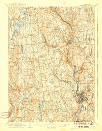
1904 Map of Waterbury
USGS Topo · Published 1940About this map
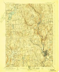
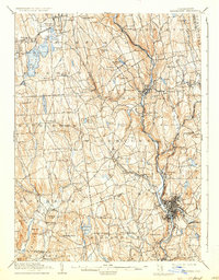
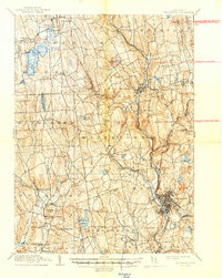
The Naugatuck Division New York New Haven and Hartford railroad anchors this Litchfield and New Haven County landscape, tracing the river valley through industrial centers like Waterbury and Thomaston. The terrain transitions from the concentrated urban grid of Waterbury in the southeast to the upland pond-and-hill country of the northwest, where Bantam Lake and Quassapaug Pond dominate the local geography.
Find a feature on this map
91 named features on this map. Tap any name to fly to it.
Don’t see what you’re looking for? This feature index may not catch every label — zoom into the map to look around manually.
Map Details
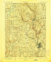
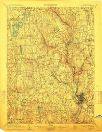
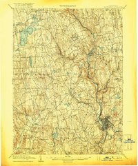
Editions of this 1904 Waterbury Map
8 editions found

Other maps of this area

1889 · Derby
USGS Topo · 1:62,500

1891 · Derby
USGS Topo · 1:62,500

1892 · Winsted
USGS Topo · 1:62,500

1892 · New Haven
USGS Topo · 1:62,500

1892 · Danbury
USGS Topo · 1:62,500

1892 · Cornwall
USGS Topo · 1:62,500

1892 · New Milford
USGS Topo · 1:62,500

1892 · Meriden
USGS Topo · 1:62,500

1892 · Granby
USGS Topo · 1:62,500

1893 · Waterbury
USGS Topo · 1:62,500