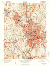
1951 Map of Waterbury
USGS Topo · Published 1951About this map
The Naugatuck River valley serves as the industrial and transit corridor for this post-war landscape, with the dense urban core of Waterbury and Waterville concentrated along the water and the NY NH & H RR tracks. In the early 1950s, the surrounding hillsides show a mix of expanding residential neighborhoods like Bunker Hill and Town Plot Hill alongside long-established institutions. Genealogists and local researchers can identify numerous parish and community burial grounds, including Riverside Cemetery, St Josephs Cem, and Mt St James Cem. Educational history is well-represented, from the Taft Sch in Watertown to the Westover Sch in Middlebury. The map also captures specialized facilities of the era, such as the Brookside Home for the Aged and the Childrens Hospital, reflecting the social infrastructure of New Haven and Litchfield counties at mid-century.
Find a feature on this map
123 named features on this map. Tap any name to fly to it.
Don’t see what you’re looking for? This feature index may not catch every label — zoom into the map to look around manually.
Map Details
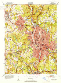
Editions of this 1951 Waterbury Map
2 editions found
Other maps of this area

1889 · Derby
USGS Topo · 1:62,500

1891 · Derby
USGS Topo · 1:62,500

1892 · New Haven
USGS Topo · 1:62,500

1892 · Meriden
USGS Topo · 1:62,500

1893 · Waterbury
USGS Topo · 1:62,500

1893 · Meriden
USGS Topo · 1:62,500

1893 · Derby
USGS Topo · 1:62,500

1904 · Waterbury
USGS Topo · 1:62,500

1904 · Litchfield
USGS Topo · 1:125,000

1906 · Farmington
USGS Topo · 1:125,000