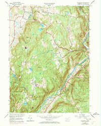
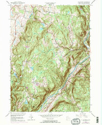
1956 Map of Ellsworth
USGS Topo · Published 1971About this map
Sharon and the surrounding rural uplands of Litchfield County are defined by a high-relief landscape where the Housatonic River carves a deep valley through the eastern portion of the map. The mid-century era is captured here, showing the transition from agricultural land to protected forest, as evidenced by large tracts of the Housatonic State Forest and Macedonia Brook State Park. Settlement patterns are clustered around small junctions and hamlets like Mitcheltown and South Ellsworth, while the Appalachian Trail winds through the southwestern hills over Skiff Mtn.
Find a feature on this map
62 named features on this map. Tap any name to fly to it.
Don’t see what you’re looking for? This feature index may not catch every label — zoom into the map to look around manually.
Map Details
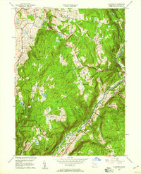
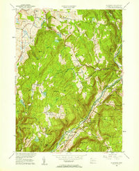
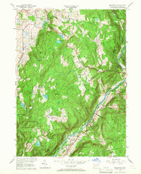
Editions of this 1956 Ellsworth Map
5 editions found
Other maps of this area

1892 · Cornwall
USGS Topo · 1:62,500

1892 · New Milford
USGS Topo · 1:62,500

1893 · New Milford
USGS Topo · 1:62,500

1893 · Cornwall
USGS Topo · 1:62,500

1893 · Clove
USGS Topo · 1:62,500

1894 · Clove
USGS Topo · 1:62,500

1898 · Clove
USGS Topo · 1:62,500

1899 · Millbrook
USGS Topo · 1:62,500

1901 · Clove
USGS Topo · 1:62,500

1902 · Millbrook
USGS Topo · 1:62,500