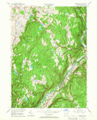
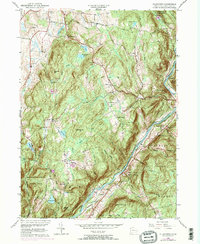
1956 Map of Ellsworth
USGS Topo · Published 1966About this map
The Housatonic River carves a deep valley through this mid-century Litchfield County landscape, defining the southeastern border between the towns of Sharon, Cornwall, and Warren. The terrain is characterized by a series of prominent peaks and high meadows, including Sharon Mountain and Ellsworth Hill, where scattered agricultural settlements and rural intersections like Pearson Corners and Calhoun Corners provide evidence of long-established community patterns. Genealogists will find value in the documentation of several small burial grounds, such as Bolland District Cem and Skiff Mtn Cem, which are tucked away on high ground away from the main river valley.
Find a feature on this map
52 named features on this map. Tap any name to fly to it.
Don’t see what you’re looking for? This feature index may not catch every label — zoom into the map to look around manually.
Map Details
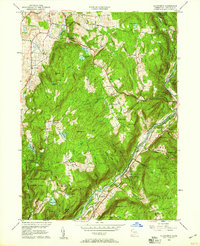
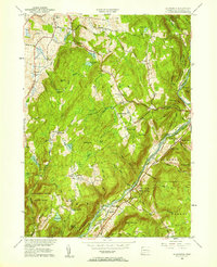
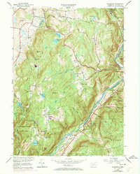
Editions of this 1956 Ellsworth Map
5 editions found
Other maps of this area

1892 · Cornwall
USGS Topo · 1:62,500

1892 · New Milford
USGS Topo · 1:62,500

1893 · New Milford
USGS Topo · 1:62,500

1893 · Cornwall
USGS Topo · 1:62,500

1893 · Clove
USGS Topo · 1:62,500

1894 · Clove
USGS Topo · 1:62,500

1898 · Clove
USGS Topo · 1:62,500

1899 · Millbrook
USGS Topo · 1:62,500

1901 · Clove
USGS Topo · 1:62,500

1902 · Millbrook
USGS Topo · 1:62,500