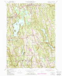
1956 Map of Litchfield
USGS Topo · Published 1988About this map
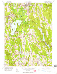
Bantam Lake dominates the central landscape of this mid-century survey, surrounded by the evolving settlements of Litchfield, Morris, and Bethlehem. The map captures a moment of local expansion and infrastructure development, evidenced by the State Police Radio Tower near Plumb Hill and the presence of Wamogo High School. Significant water management features, including the Wigwam Reservoir and Pitch Reservoir, illustrate the region's role in local utility networks.
Find a feature on this map
82 named features on this map. Tap any name to fly to it.
Don’t see what you’re looking for? This feature index may not catch every label — zoom into the map to look around manually.
Map Details
Editions of this 1956 Litchfield Map
7 editions found
Other maps of this area

1892 · Winsted
USGS Topo · 1:62,500

1892 · Cornwall
USGS Topo · 1:62,500

1892 · New Milford
USGS Topo · 1:62,500

1893 · Waterbury
USGS Topo · 1:62,500

1893 · New Milford
USGS Topo · 1:62,500

1893 · Cornwall
USGS Topo · 1:62,500

1903 · Cornwall
USGS Topo · 1:62,500

1904 · New Milford
USGS Topo · 1:62,500

1904 · Waterbury
USGS Topo · 1:62,500

1904 · Litchfield
USGS Topo · 1:125,000