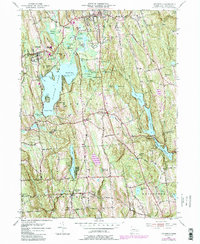
1956 Map of Litchfield
USGS Topo · Published 1988About this map
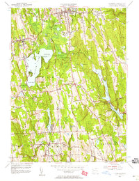
Bantam Lake dominates the central landscape of this Connecticut survey, its northern and southern reaches defined by North Bay and South Bay. This area, encompassing the townships of Litchfield, Morris, and Bethlehem, reflects a mid-century pattern of upland farming and woodland conservation. The presence of the Mattatuck State Forest and the Mattatuck Trail signifies a region transitioning towards recreation and resource management, while the numerous reservoirs like Pitch Reservoir, Morris Reservoir, and Wigwam Reservoir illustrate the critical role of the local watershed. Smaller settlements such as Grappaville and East Morris appear alongside established institutions like Camp Columbia and Wamogo High Sch. Genealogists may find value in the clearly marked West Cem, East Cem, and Bethlehem Cem, which anchor the historical community centers within this diverse terrain of hills and valleys.
Find a feature on this map
57 named features on this map. Tap any name to fly to it.
Don’t see what you’re looking for? This feature index may not catch every label — zoom into the map to look around manually.
Map Details
Editions of this 1956 Litchfield Map
7 editions found
Other maps of this area

1892 · Winsted
USGS Topo · 1:62,500

1892 · Cornwall
USGS Topo · 1:62,500

1892 · New Milford
USGS Topo · 1:62,500

1893 · Waterbury
USGS Topo · 1:62,500

1893 · New Milford
USGS Topo · 1:62,500

1893 · Cornwall
USGS Topo · 1:62,500

1903 · Cornwall
USGS Topo · 1:62,500

1904 · New Milford
USGS Topo · 1:62,500

1904 · Waterbury
USGS Topo · 1:62,500

1904 · Litchfield
USGS Topo · 1:125,000