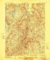
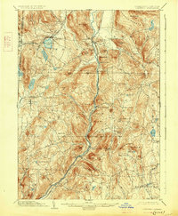
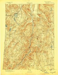
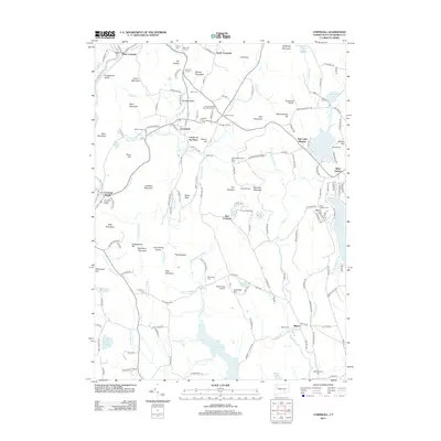
1903 Map of Cornwall
USGS Topo · Published 1903About this map
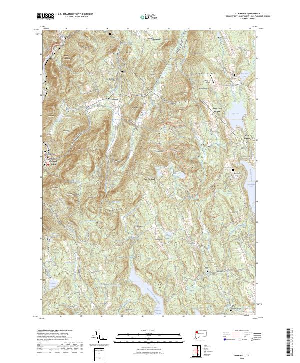
The Housatonic River carves through the Litchfield Hills in this turn-of-the-century topographic record, defining the valley that connects Falls Village and Cornwall Bridge. The landscape is shaped by late 19th-century industrial and transport networks, most notably the iron heritage of Ore Hill and the village of Limerock. The map highlights the complex rail system of the era, including the Central New England RR and the Berkshire Division of the New York New Haven and Hartford railroad, which facilitated the movement of ore and timber from the highlands.
Find a feature on this map
85 named features on this map. Tap any name to fly to it.
Don’t see what you’re looking for? This feature index may not catch every label — zoom into the map to look around manually.
Map Details
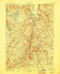
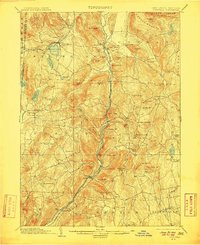
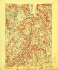
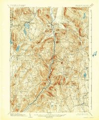
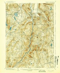
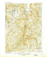
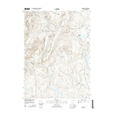
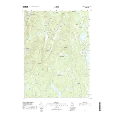
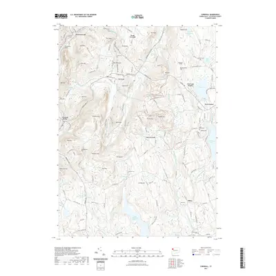
Editions of this 1903 Cornwall Map
9 editions found
Historical Maps of Litchfield Through Time
10 maps found

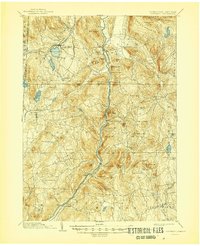
1892 Cornwall
Litchfield County, CT
1893 Cornwall
Litchfield County, CT
1903 Cornwall
Litchfield County, CT
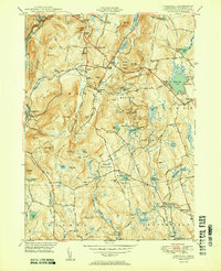
1950 Cornwall
Litchfield County, CT
1956 Cornwall
Litchfield County, CT
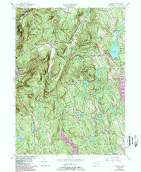
2012 Cornwall
Litchfield County, CT
2015 Cornwall
Litchfield County, CT
2018 Cornwall
Litchfield County, CT
2021 Cornwall
Litchfield County, CT
2024 Cornwall
Litchfield County, CT