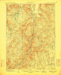
1903 Map of Cornwall
USGS Topo · Published 1910About this map
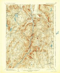
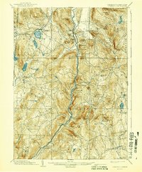
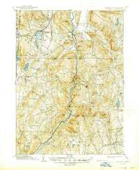
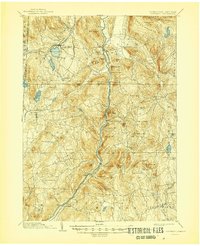
Housatonic River carving through the Litchfield Hills defines the character of this turn-of-the-century landscape, where industrial sites and agricultural villages sit among numerous peaks. The map reveals the early 20th-century reliance on rail, with the Berkshire Division and the New York New Haven and Hartford RR tracing the river valley to serve settlements like Limerock Sta. and Cornwall Bridge.
Find a feature on this map
97 named features on this map. Tap any name to fly to it.
Don’t see what you’re looking for? This feature index may not catch every label — zoom into the map to look around manually.
Map Details
Editions of this 1903 Cornwall Map
9 editions found

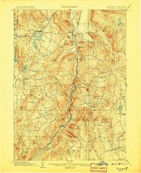
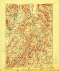
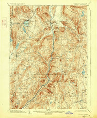
Other maps of this area

1885 · Sheffield
USGS Topo · 1:62,500

1888 · Sheffield
USGS Topo · 1:62,500

1888 · Sandisfield
USGS Topo · 1:62,500

1891 · Sheffield
USGS Topo · 1:62,500

1892 · Winsted
USGS Topo · 1:62,500

1892 · Cornwall
USGS Topo · 1:62,500

1892 · New Milford
USGS Topo · 1:62,500

1893 · Waterbury
USGS Topo · 1:62,500

1893 · Sheffield
USGS Topo · 1:62,500

1893 · New Milford
USGS Topo · 1:62,500