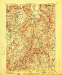
1903 Map of Cornwall
USGS Topo · Published 1913About this map
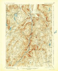
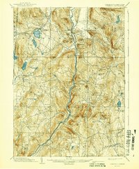
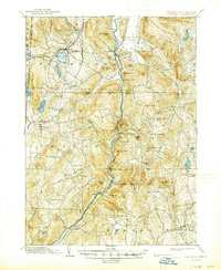
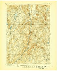
The Housatonic River carves a deep valley through the Litchfield Hills, serving as the primary corridor for the Berkshire Division of the New York New Haven and Hartford RR. This early twentieth-century landscape is defined by a dense network of iron-era settlements and water-powered industrial sites. In the northwest, the mining history of Ore Hill and the iron works at Salisbury and Lakeville are linked by the Central New England RR, which skirts the shores of Wononscopomuc Lake.
Find a feature on this map
94 named features on this map. Tap any name to fly to it.
Don’t see what you’re looking for? This feature index may not catch every label — zoom into the map to look around manually.
Map Details
Editions of this 1903 Cornwall Map
9 editions found

Other maps of this area

1885 · Sheffield
USGS Topo · 1:62,500

1888 · Sheffield
USGS Topo · 1:62,500

1888 · Sandisfield
USGS Topo · 1:62,500

1891 · Sheffield
USGS Topo · 1:62,500

1892 · Winsted
USGS Topo · 1:62,500

1892 · Cornwall
USGS Topo · 1:62,500

1892 · New Milford
USGS Topo · 1:62,500

1893 · Waterbury
USGS Topo · 1:62,500

1893 · Sheffield
USGS Topo · 1:62,500

1893 · New Milford
USGS Topo · 1:62,500