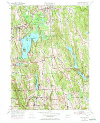
1956 Map of Litchfield
USGS Topo · Published 1972About this map
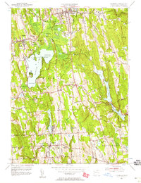
Bantam Lake anchors this mid-century topographic survey, its shoreline dotted with local landmarks like Point Folly and Sandy Beach. The surrounding Litchfield County landscape reveals a deliberate network of water management, with the Bantam River feeding into the lake while the Pitch Reservoir, Morris Reservoir, and Wigwam Reservoir system dominates the eastern hills. Small settlements such as Bantam, Morris, and Bethlehem provide a clear view of the area's residential development, connected by historic routes like Webster Road and Guernseytown Road. For those researching local history, the map preserves the locations of early burial grounds, including the Old Bethlehem Cem and West Cem, alongside mid-century civic infrastructure like the Wamogo High Sch and the State Police Radio Tower. Significant tracts of the Mattatuck State Forest remain undeveloped, contrasting with the active utility sites like the Dechlorination Sta near the reservoirs.
Find a feature on this map
73 named features on this map. Tap any name to fly to it.
Don’t see what you’re looking for? This feature index may not catch every label — zoom into the map to look around manually.
Map Details
Editions of this 1956 Litchfield Map
7 editions found
Other maps of this area

1892 · Winsted
USGS Topo · 1:62,500

1892 · Cornwall
USGS Topo · 1:62,500

1892 · New Milford
USGS Topo · 1:62,500

1893 · Waterbury
USGS Topo · 1:62,500

1893 · New Milford
USGS Topo · 1:62,500

1893 · Cornwall
USGS Topo · 1:62,500

1903 · Cornwall
USGS Topo · 1:62,500

1904 · New Milford
USGS Topo · 1:62,500

1904 · Waterbury
USGS Topo · 1:62,500

1904 · Litchfield
USGS Topo · 1:125,000